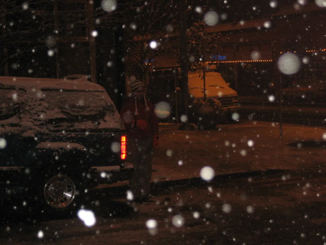
Wintry mix threatens holiday travel as record crowds hit the roads before Christmas
A busy holiday travel week lies ahead as a wintry mix of weather moves into the region. Forecasters warn of slick roads and possible delays for those heading out before Christmas. Despite the unsettled conditions, record numbers of Americans are expected to hit the roads and skies for the holiday.
The first disturbance arrives on Tuesday, bringing light snow, sleet, and rain across the area. Temperatures will climb to the mid-40s by afternoon, helping to melt any ice or snow that collects. While accumulations should stay under an inch, northern Pennsylvania and the Lehigh Valley may see slightly more.
Another system could affect Lancaster County on Friday, with an 80% chance of precipitation. Current forecasts suggest a mix of rain, snow, and sleet, though no major storm has been named for the region. Any wintry weather should clear by Wednesday, leaving mostly sunny skies and good driving conditions for last-minute travellers. Christmas Day will stay mild, with temperatures hovering in the 40s. Scattered showers may linger in the morning, but no significant snowfall is expected. The county has not seen an inch or more of snow on the ground for Christmas since 2012.
Travellers should prepare for changing conditions, particularly on Tuesday and Friday. Warmer temperatures will help clear ice, but wet roads could still cause delays. With record holiday travel expected, drivers and flyers are advised to check forecasts and allow extra time.


