
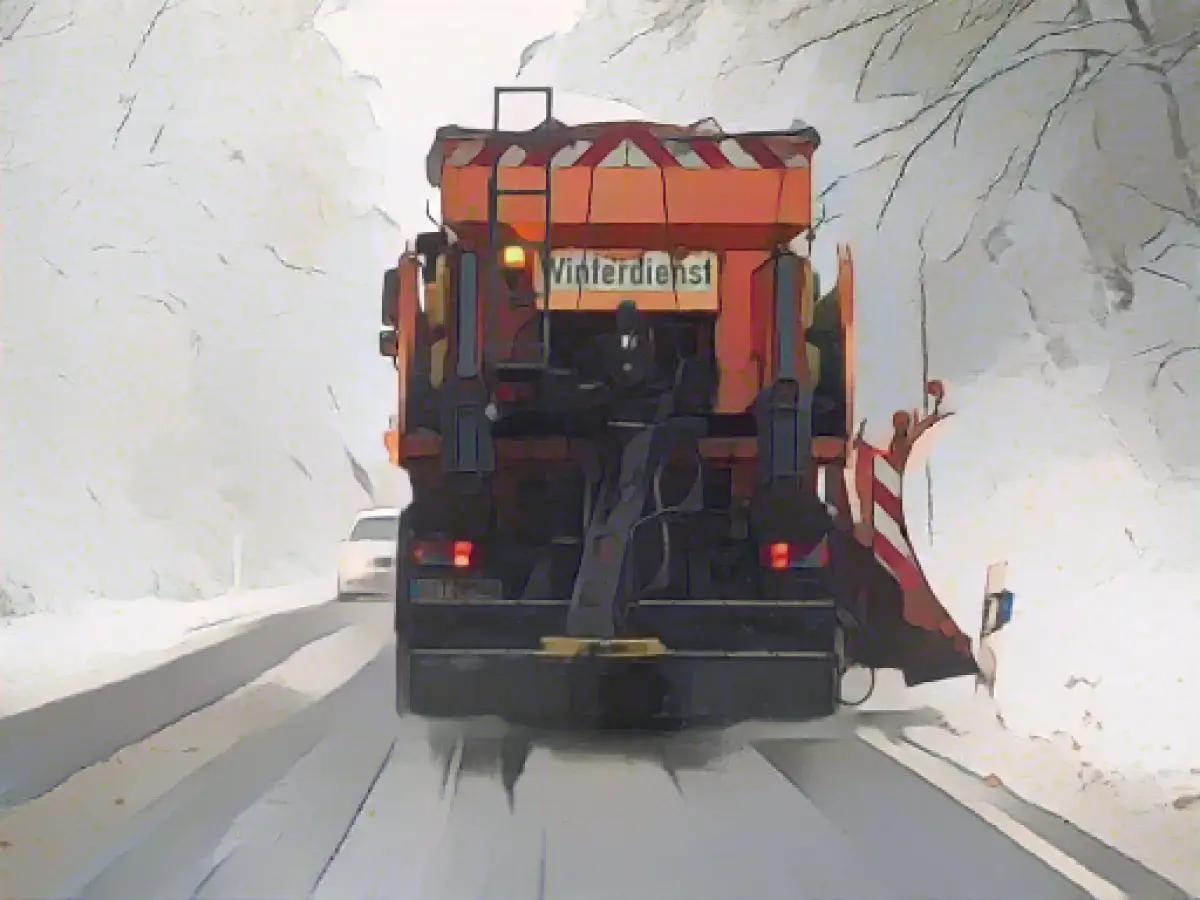
Brace yourself, folks, 'cause winter's here to paint the town white! As we approach the week's end, Germany's climate is set to embrace a chilly, wintry transformation. Met office expert Marcel Schmidt from the German Weather Service (DWD) in Offenbach recently gave the lowdown, and it's looking grim.
He warned us about an imminent series of snowfall, sleet, and rain showers. Gale-force winds on Friday will give way to calm over the weekend. Meanwhile, there's a chance of snow falling even at low altitudes on Friday morning, but the chilly weather will be short-lived, thanks to the warm soil and temperatures hovering between 4 to 10 degrees.
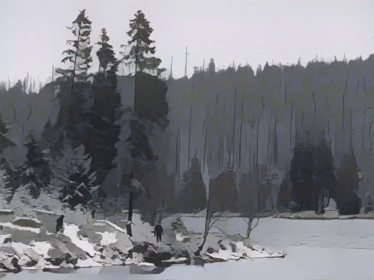
The Alps, however, will get its fair share of winter lovin', with 30 to 50 centimeters of snow expected over the weekend, accompanied by persistent snowfall. Lower mountain ranges might also experience a dusting of snow above 400 to 600 meters over the following days. The Black Forest and Ore Mountains aren't left out of the party, with possible massive snowfall.
So, let's get ready to witness a meteorological masterclass. Friday will gift us with an exciting spectacle of sun and clouds, with a smattering of showers transformed into snowflakes above 300 to 600 meters. Blustery winds will also be in the mix.
Saturday night will herald another round of precipitation, some of which will transform into sleet or snow. Icy patches may lurk in certain regions. The day will see temperatures between 0 to 5 degrees, with Emsland and the Lower Rhine promising 7 degrees. However, by nightfall, the mercury will plummet to 0 to minus 5 degrees.
Sunday promises clear skies in the northeastern parts of Germany, with relatively dry weather. Conversely, the southwestern regions may experience an overcast day, punctuated by occasional showers. The snowline will hover between 300 and 500 meters. Coldest temperatures will be experienced in the east and south, while the rest of the country will feel toasty between 3 and 6 degrees.
Snowforecasters predict that the Alps will continue to be blanketed by fresh snow, yielding 30 to 50 centimeters of accumulation over the weekend. While Friday's snow at lower altitudes may disappear due to the warmer ground and temperatures, social media is abuzz with holiday plans, so brace yourself for some winter cheer!
- Low Altitudes: A cold front will bring cloudy and wet weather, with the snow line initially between 1300 and 1500 meters. By Friday evening, the snow line will drop to 700 to 1000 meters, depending on the region. On Friday morning, it will be cloudy in many places, especially in German-speaking Switzerland, with snow still falling along the Alps and in the east. The lowlands can expect a second surge of moisture, especially in the second half of the night and east of Bern, with occasional snow showers. By the weekend, the weather will dry out, and temperatures will rise to around 2 to 4 degrees Celsius in the lowlands, with a cold north-eastern wind. High fog will form over the Central Plateau, but it will clear by the day, allowing for sunshine.
- Mountain Ranges: The snow line will drop significantly, with 20 to 30 centimeters of snow expected above 1300 to 1500 meters. Locally, even more snowfall is possible. On Friday morning, snowfall will continue, especially in the eastern foothills of the Alps, with light snowfall expected in some areas. The freshly fallen snow can be enjoyed, but it's essential to keep an eye on the avalanche situation. Temperatures will be around 1 to 2 degrees Celsius, with a cold influx of polar air.
- The Alps: The snow line will drop to low altitudes, and the precipitation will decrease. However, some places along the central and eastern foothills of the Alps can expect light snowfall. On Friday morning, snow will still be falling along the Alps and in the east, with the first clearing expected towards the northern edge and north-western Switzerland by the evening. By the weekend, the weather will be dominated by high pressure, leading to sunny conditions on the southern side of the Alps. Temperatures will be mild, ranging from 12 to 14 degrees Celsius in the Ticino valleys.


