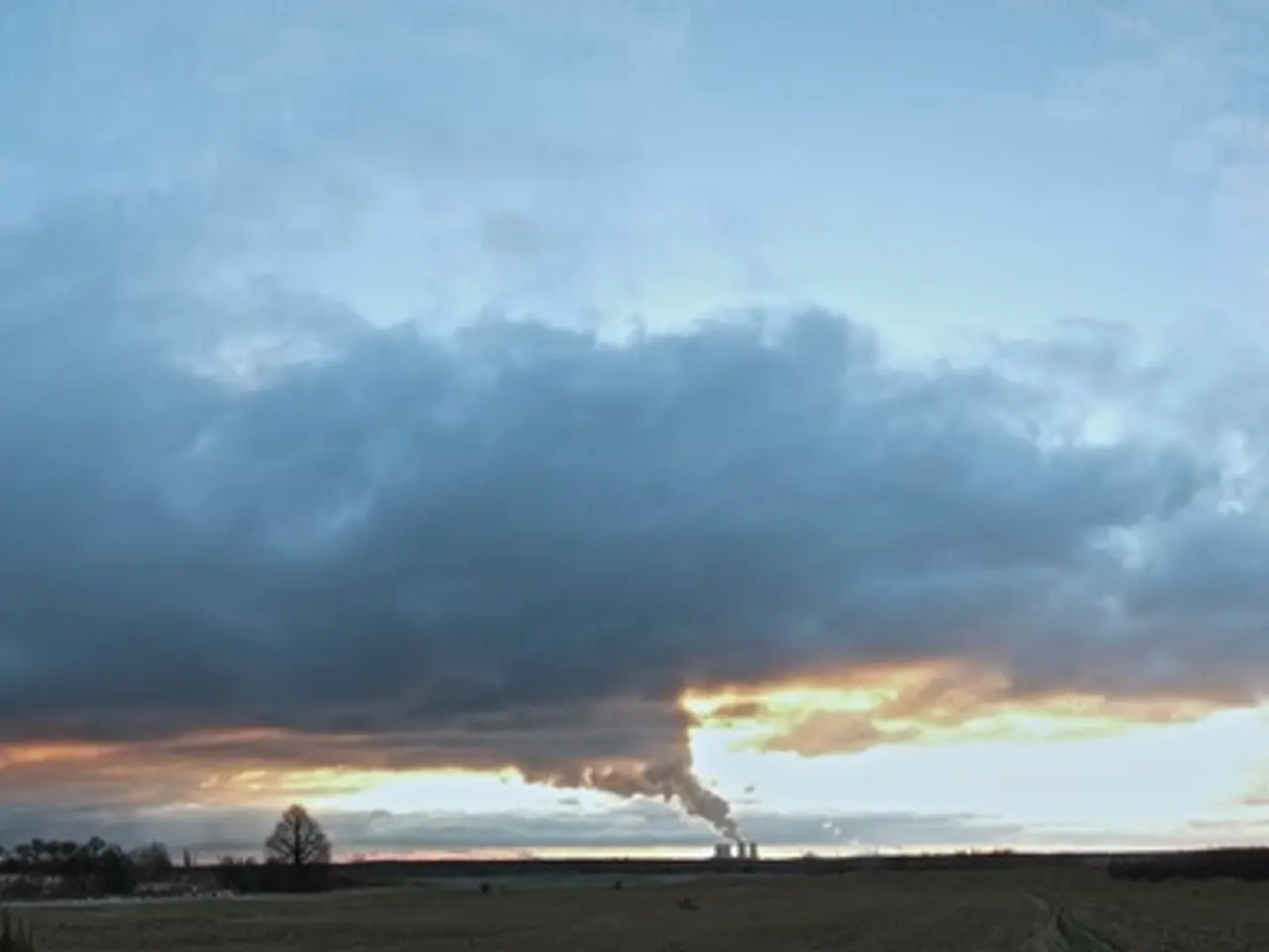
Wildfire smoke in the Prairies may lead to foggy skies nationwide in Canada, according to meteorological predictions.
Current Status and Affected Regions:
The wildfire smoke originating from hundreds of active fires across Canada is causing widespread concern, stretching from Vancouver Island in the west to Charlottetown in the east. The provinces of British Columbia, Alberta, Saskatchewan, Manitoba, and Ontario are experiencing hazy skies and poor air quality[1].
The smoke has drifted southward into the U.S., affecting the Upper Midwest (Wisconsin, Michigan, northern Indiana), Great Lakes, and Northeast (New York, Pennsylvania, New Jersey, Vermont, New Hampshire, Maine, Massachusetts, Connecticut, Rhode Island, Delaware), where many areas are under air quality alerts[2][3][4]. Cities such as Detroit, Milwaukee, New York City, Philadelphia, and Boston are experiencing unhealthy to very unhealthy air quality due to the smoke, with Detroit’s air quality ranking among the worst worldwide at times[2][3][4].
While not explicitly detailed in the sources, considering Charlottetown (Prince Edward Island) lies in eastern Canada and the wide eastward spread of smoke plumes shown in satellite data, it is reasonable to infer that the smoke is also affecting air quality in these eastern maritime areas to some extent[1].
Health Impact and Air Quality Warnings:
Numerous provinces and U.S. states have air quality warnings where the Air Quality Health Index (AQHI) reaches 10 or above, indicating very high health risk from fine particulate matter (PM2.5) and black carbon in the smoke[1][2]. Sensitive groups such as people with heart or lung conditions, older adults, children, and pregnant women are especially at risk[2].
Common symptoms of the poor air quality include eye, nose, and throat irritation. Less common symptoms include chest pains and a severe cough[1].
Visibility Impact:
Smoke has reduced visibility significantly—for example, visibility dropped to about 200 meters in Fort McMurray, Alberta[1]—and caused operational impacts such as flight delays and ground stops at Boston's Logan International Airport due to low visibility caused by the smoke[4].
Summary:
The wildfire smoke is widespread, moving east and south from Vancouver Island through much of Canada and into the northern and northeastern United States. The worst air quality is concentrated in the Upper Midwest, Great Lakes, and Northeast states, as well as several Canadian provinces in the central and eastern parts of the country, with active health alerts and visibility issues reported[1][2][3][4]. The smoke is causing or expected to cause poor air quality, and sensitive groups should take precautions to protect their health.
- The unusual weather pattern, caused by the wildfire smoke, creates a unique case study within environmental science, particularly climate-change studies, as it demonstrates the potential impact of such events on air quality and public health.
- Despite no explicit mention of Charlottetown's air quality in the sources, considering the eastward spread of smoke plumes and its geographical location within eastern Canada, it is plausible that the smoke could affect the environmental-science parameters of Charlottetown's climate-change analysis.


