Western Washington braces for rare snow and prolonged cold snap this week
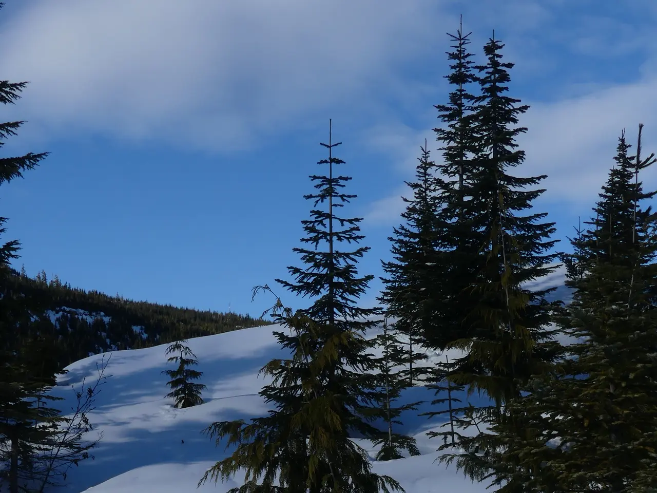
Western Washington is preparing for a chilly week as a cool weather pattern settles in. A mix of rain and snow could reach Seattle by late Sunday, while the Cascade Mountains prepare for heavier snowfall. Temperatures across the region will stay low, with little sign of warming soon.
The shift begins overnight on Sunday, when showers may bring 'wet flakes' of snow to parts of the area. While Puget Sound is unlikely to see any accumulation, the Olympic Peninsula faces a higher chance of a rain-snow mix or even light snow through Tuesday.
From Monday to Friday, the Cascade Mountains are forecast to receive 6 to 12 inches of fresh snow. This comes as a trough moves in, keeping temperatures low for the next 10 days. Seattle's readings will hover in the mid-30s at night and climb only to the mid-40s during the day.
Despite the incoming snow, overall snowpack levels in Washington remain below normal. Light rain showers will also affect Western Washington, with mountain areas seeing the most persistent snowfall.
The region will stay cold for over a week, with the Cascades bearing the brunt of the snow. Seattle and Puget Sound may see a few wet flakes, but no significant buildup is expected. The Olympic Peninsula, however, could experience more noticeable snowfall by midweek.


