Weather models send explosive turnaround signal - Completely different January 2026 than calculated
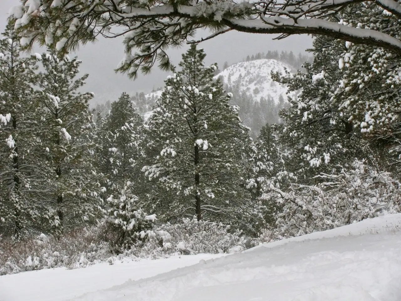
Forecasters are warning of an early and harsh winter, with freezing conditions possibly hitting as soon as Christmas. The outlook for January 2026 has shifted dramatically from earlier predictions of mild weather. A blocked weather pattern now threatens to bring prolonged cold, raising concerns across Europe.
Long-range forecasts initially pointed to a mild January 2026. But recent short- and medium-term models paint a different scenario. A persistent high-pressure system could trap dry continental air over Western Europe, locking in freezing temperatures for weeks.
The source of the cold snap appears to be a vast reservoir of polar air over Russia. If this surges westward, it may dominate the weather pattern, making it difficult to shift. Traditional models highlight the first one to two weeks of January as the highest risk period. The situation is made worse by months of extreme dryness. Snow and rain, essential for replenishing water supplies, have been nearly absent in recent winters. If the blocked pattern holds, the drought conditions of 2025 could deepen further. No major meteorological body or climate researcher has issued a specific forecast for prolonged frost in January 2026. The Deutsche Meteorologische Gesellschaft (DMG) lists general events for that month, including lectures, but provides no details on cold-weather predictions.
January 2026 could become notable not just for its potential extremes but for exposing gaps between real-time weather and long-term forecasts. The combination of a blocked weather system, polar air intrusion, and ongoing drought suggests a high risk of extended freezing conditions. Authorities and residents may need to prepare for a colder, drier start to the year than originally expected.


