
Violent storms pose a danger to regions in the Midwest and Southeast over the weekend.
Heavy Rain and Thunderstorms Sweep Across US
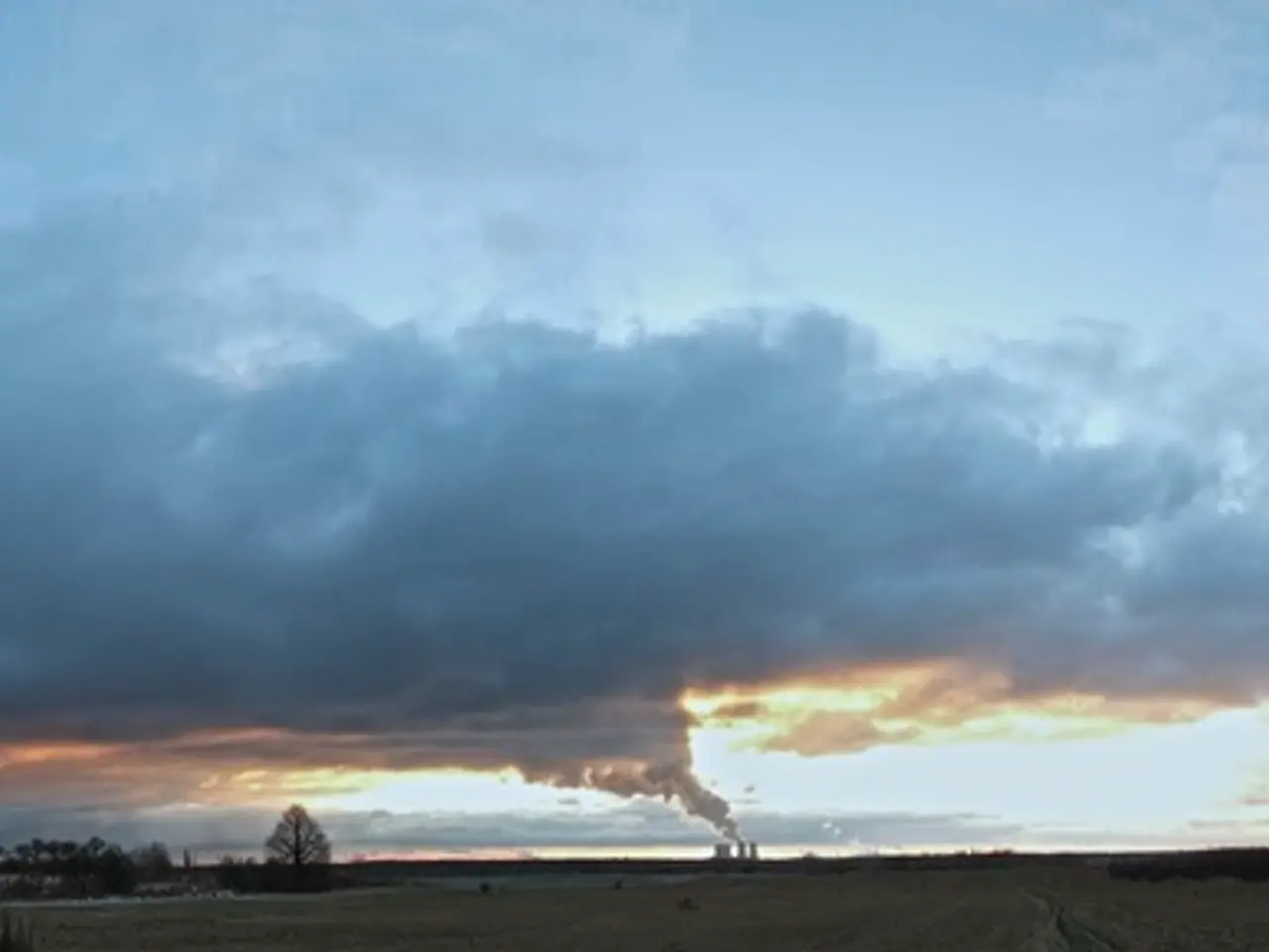
The United States is bracing for a series of strong and potentially destructive thunderstorms this weekend, with the Midwest, central Plains, and Southeast expected to bear the brunt of the weather system. The National Weather Service (NWS) has issued warnings of heavy rainfall, flash flooding, damaging winds, large hail, and even tornadoes in these regions.
The Midwest is forecast to experience numerous nocturnal thunderstorms through the weekend and into Monday, with a heavy rain corridor stretching from northern Missouri through southern Iowa into southern Wisconsin. The NWS predicts hourly rainfall amounts up to 2.5 inches and multi-day totals locally reaching 9 inches, creating a high threat of flash flooding.
The central Plains states, including Nebraska, have already experienced damaging storms. Over 50,000 residents in Nebraska are currently without power due to severe weather, with wind gusts potentially reaching up to 95 mph from Nebraska to Minnesota.
In the Southeast, particularly northern Florida and southern Georgia, lingering storms are expected to fuel heavy, persistent rainfall. Localized flood risk, especially in coastal southeast Georgia, is a significant concern. The NWS also warns of the potential for tornadoes as storms move east and south.
The heatwave in the Southwest continues, with record-breaking temperatures in Arizona. Phoenix hit 118 degrees Fahrenheit on Thursday, setting a new daily and monthly record for the city. Despite weekend temperatures being less intense than in recent days, high temperatures approaching or exceeding 110 degrees are still possible in Arizona and other parts of the Southwest.
Similar daily temperature records were also set in other cities in Arizona, including Scottsdale, Yuma, Blythe, and Deer Valley. In Albuquerque, New Mexico, the city reached 101 degrees on Friday, breaking the city's previous record of 98 degrees set in 2011. A heat advisory remains in effect in Albuquerque through Saturday evening.
Meanwhile, in California, the Canyon Fire has reached 47% containment. Evacuation orders have been lifted, and residents are encouraged to remain vigilant as firefighters continue to battle the blaze.
In the Midwest and Southeast, residents should be prepared for dangerous flash flooding and severe thunderstorm impacts due to the expected heavy rainfalls and strong winds over the next couple of days. The NWS advises residents to stay informed and follow any instructions from local authorities.
- The excessive rainfall associated with these thunderstorms falls under the category of environmental-science, as it has the potential to disrupt ecosystems and lead to flash flooding.
- Individuals in the Midwest and Southeast regions should pay close attention to the latest weather updates, as the heavy rainfalls and strong winds could significantly impact the local weather conditions, which are intrinsically connected to the fundamental principles of science.


