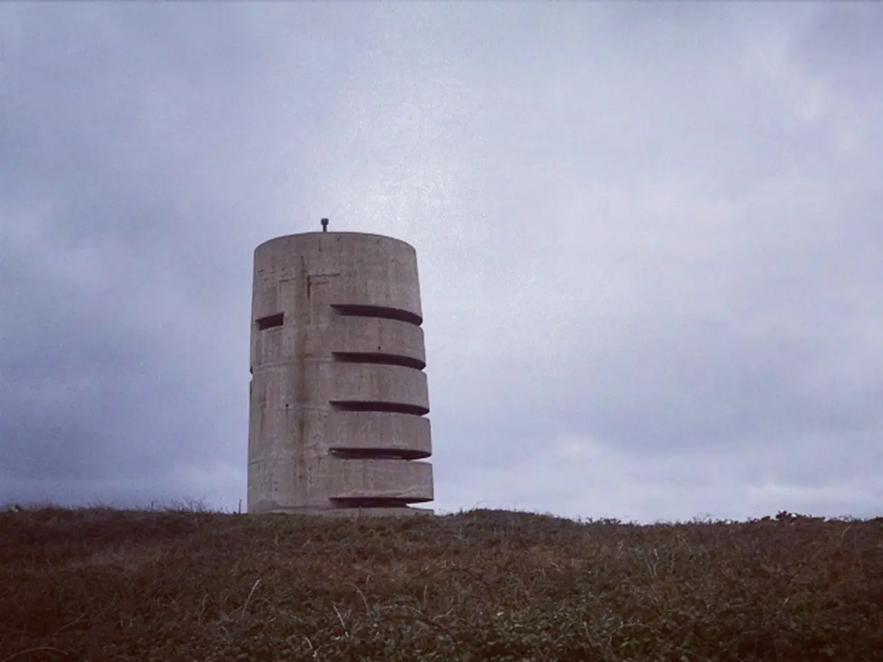
Various Cloud Formations Wander Across the Heavenly Canopy
Understanding the Sky: A Comprehensive Guide to Cloud Classification
The World Meteorological Organization (WMO) has established a comprehensive classification system for clouds, dividing them into types and species with distinct characteristics. This system, detailed in the International Cloud Atlas, helps meteorologists and weather enthusiasts alike to better understand the ever-changing patterns in the sky.
High-level Clouds (Above 6,000 meters / 20,000 feet)
Composed mostly of ice crystals, high-level clouds include Cirrus, Cirrostratus, and Cirrocumulus. Cirrus clouds are thin, wispy, and often associated with fair weather. Cirrostratus clouds create a thin, veiled layer across the sky and often precede a change in weather, while Cirrocumulus clouds form at high altitudes and consist of small, white cloud patches with a rippled or honeycomb appearance.
Mid-level Clouds (Between 2,000 and 6,000 meters / 6,500 to 20,000 feet)
Mid-level clouds, such as Altostratus and Altocumulus, are composed of water droplets, ice crystals, or a mixture depending on altitude and temperature. Altostratus appears as large, grayish-blue sheets across the sky, while Altocumulus appears as rounded masses or parallel bands in the middle level of the atmosphere.
Low-level Clouds (Below 2,000 meters / 6,500 feet)
Low-level clouds, including Stratus, Stratocumulus, and Nimbostratus, are composed of water droplets. Stratus clouds cover the whole sky in a uniform gray layer, often bringing steady rain or light precipitation. Stratocumulus clouds usually bring overcast conditions but do not produce heavy rain. Nimbostratus clouds are thick, dark clouds that cover the entire sky and bring continuous rain or snow.
Clouds with Vertical Development
Cumulus clouds are the classic "cotton balls" of the sky, often associated with fair weather. Cumulus congestus clouds develop vertically and are a sign that storms may be forming. Cumulonimbus clouds develop vertically and are responsible for severe weather like thunderstorms, heavy rain, and even tornadoes.
New Cloud Types
In recent updates, the WMO introduced 11 new cloud types, including Asperitas, Flammagenitus, and Fluctus. These additions reflect advances in remote sensing and observations and enhance meteorological understanding.
Additional Features
Shelf clouds indicate strong winds and rapidly changing atmospheric conditions. When seen in the morning, altocumulus clouds can indicate fair weather for the day. Cirrus clouds have a hair-like, wispy appearance and often indicate that a change in the weather is coming. Wall clouds, a low, rotating cloud base that extends downward from a severe thunderstorm, can sometimes lead to tornado development.
This classification is globally accepted and used by all WMO Members for cloud observation and forecasting. Whether you're admiring the sky or studying meteorology, this guide provides a valuable tool for understanding the ever-changing patterns in the sky.
[1] International Cloud Atlas, World Meteorological Organization (2017) [2] Clouds, an Introduction, National Oceanic and Atmospheric Administration (NOAA) [3] Clouds, University Corporation for Atmospheric Research (UCAR)
Read also:
- Amidst India's escalating climate crisis, transgender individuals continue to persevere
- Germany's three-month tenure under Merz's administration feels significantly extended
- Governing body allegedly persists in enjoying vacation time amidst Spain's highest danger level due to fires, claims Feijóo
- United Nations Human Rights Evaluation, Session 45: United Kingdom's Statement Regarding Mauritius' Human Rights Record


