Unusual Meteorological Event: The Surge of Fogwaves
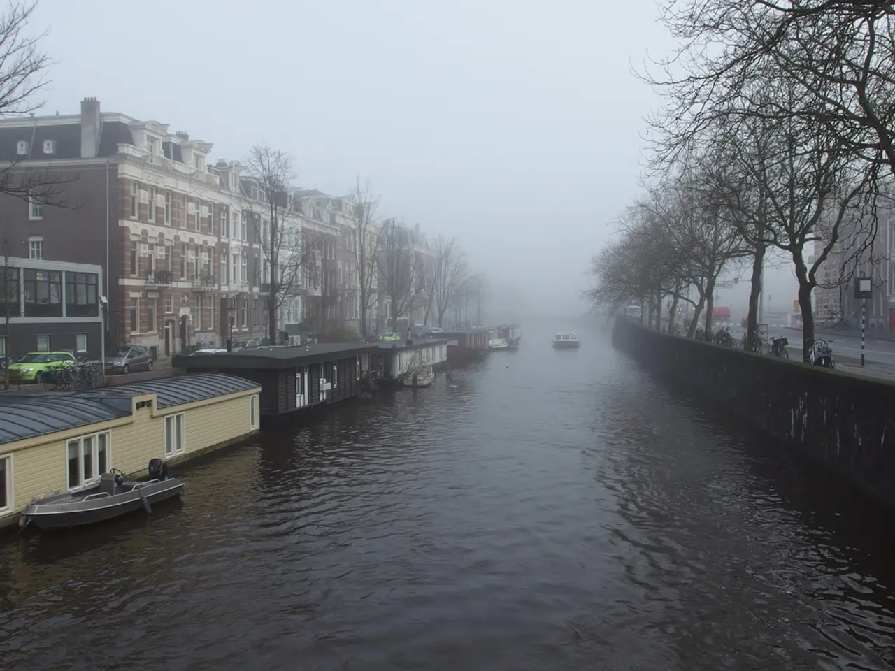
In a recent weather event that left many onlookers in awe and confusion, a fog tsunami was observed rolling across the horizon above Lake Michigan. This meteorological phenomenon, while not new, is a rare and fascinating sight that resembles a tsunami in the sky.
Although the fog tsunami and the arcus cloud share similar appearances, they are distinct weather phenomena. A fog tsunami forms under specific meteorological conditions primarily involving temperature contrasts and wind patterns near coastlines.
The event unfolded when warm, moist air moved over colder ocean water, causing the moisture in the air to condense into thick fog. The cooler water chilled the milder air above it, leading to condensation, a process essential for the formation of a fog tsunami.
After the fog formed over the ocean, winds pushed the fog inland, creating the dramatic visual effect of a giant, wave-like wall of fog rolling onto the land quickly and dramatically. This phenomenon usually happens in early summer and in places where there is a marked difference between land and sea temperatures, allowing the fog layer to build densely offshore before being advected ashore by wind.
The fog tsunami above Lake Michigan is an example of a spectacular weather phenomenon. The visual impact was striking enough to create confusion about its nature, with some witnesses describing it as an enormous white wave rolling across the horizon.
It is worth noting that the fog tsunami differs from "roll clouds" or "tsunami clouds," which form when cooler, denser air pushes into warmer, moist air. Fog tsunamis specifically involve low-lying fog rather than cloud formations.
Despite its awe-inspiring appearance, a fog tsunami can cause serious visibility problems and impact maritime and air transport. Lake Michigan's geographical location makes it prone to fog tsunami occurrences due to temperature variations between land and water.
The occurrence of a fog tsunami is most common at the end of spring or early summer when waters haven't warmed up yet but warm days are already possible. A fog tsunami is essentially advection fog, which is caused by the cooler water chilling the milder air above it, leading to condensation.
In conclusion, a fog tsunami results from warm moist air flowing over colder ocean water, leading to dense fog formation that is then driven ashore by winds, creating the appearance of a rolling fog wave. While it may initially cause confusion, understanding the science behind this fascinating weather event helps appreciate its beauty and the complexities of our atmosphere.
Weather forecasters might find it significant to study the meteorological conditions that led to the recent observation of a fog tsunami over Lake Michigan, as this phenomenon, while rare, offers insight into advection fog formation and wind patterns near coastlines.
Accurate weather-forecasting models could potentially predict future instances of fog tsunamis, aiding in averting potential impacts on maritime and air transport due to decreased visibility.


