U.S. experiencing a significant cool-down, however, this relief poses a potentially risky factor
Cooler Conditions and Renewed Flooding Risk Expected Across the United States
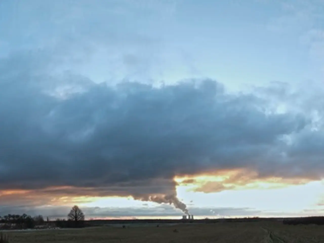
A significant cooldown is set to sweep across the United States later this week, providing much-needed relief from the prolonged heatwave that has gripped the nation. The cooler temperatures will be accompanied by an increased risk of rain, thunderstorms, and flash flooding, particularly in regions that have already experienced intense heat and flooding during the 2022 summer.
The cooldown begins on Wednesday, with the north-central US experiencing a drop in temperatures by nearly 20 degrees Fahrenheit. This shift is driven by a large area of high pressure moving south out of Canada and a strong cold front advancing ahead of it. By the weekend, the cooler conditions are expected to spread eastward, affecting the eastern half of the US.
The renewed precipitation risk is associated with the advancing cold front, which can trigger these conditions during such pattern shifts. As a result, parts of the Midwest are under a Level 2 of 4 risk of flooding rainfall on Wednesday. The eastern half of the United States has experienced an abnormally hot summer with multiple heat domes, sweltering nights, and high humidity.
The upcoming cooldown will bring high temperatures more like early June, a rare occurrence in August. Some of the coolest temperatures are expected just in time for the weekend, with New York City's high temperature on Friday expected to be in the mid-to-upper 70s, similar to early June temperatures. Washington, DC could also see a high in the upper 70s on Friday, a rare occurrence in August.
Atlanta's high temperature streak above 80 degrees could be broken on Sunday. The South will experience a cooling trend, with Little Rock, Arkansas reaching mid-90s by Thursday and temperatures easing thereafter.
However, the relief from the heat comes with an increased risk of flooding. Nearly all of New Jersey is in the flood risk area, with an increased risk also including parts of Virginia. A Level 2 of 4 risk of flooding rainfall is in place for parts of the Northeast and mid-Atlantic, including New York City, Philadelphia, and Washington, DC, on Thursday.
The dramatic cooldown is tied to an expansive area of high pressure expected to track south out of Canada later this week, and a lengthy cold front racing down ahead of it. This cooldown follows a trend where dramatic cooldowns after prolonged heat bring precipitation risks, necessitating vigilance for potential flooding, especially in previously affected zones.
The heat wave that has affected the US this summer has been intense, with more than 150 million people from the central US to the East Coast under a Level 3 or 4 heat risk on Tuesday, as temperatures climb into the 90s and the heat index soars even higher. Tropical Storm Chantal's flooding rainfall killed at least one person in North Carolina in early July, highlighting the potential dangers of these weather patterns.
Stormy weather is expected to affect a large portion of the central and eastern US on Wednesday, with the cooldown providing a much-needed break from the heatwave. Relief from the heat is on the horizon, with above-normal temperatures expected to return during the first full week of August.
The weather pattern shift is linked to science and environmental-science principles, as the cooldown and subsequent precipitation are caused by the advancement of a cold front, which is a key concept in meteorology.
As a result of the cooldown, the risk of flooding, particularly in regions that have already experienced intense heat and flooding, is set to increase, emphasizing the interconnectedness of weather, science, and the environmental-science domain.


