
Trekking Handbook: Navigating the Four-Mile Trail
Tackle the iconic Four Mile Trail in Yosemite National Park and soak up some breathtaking views that make it a 'best-of' hike experience. Built back in 1872, this trail links the renowned Yosemite Valley and Glacier Point. Throughout your hike, you'll be greeted with stunning vistas of the Valley, including El Capitan, Half Dome, and Yosemite Falls.
Now, let's break down the ways you can conquer the trail:
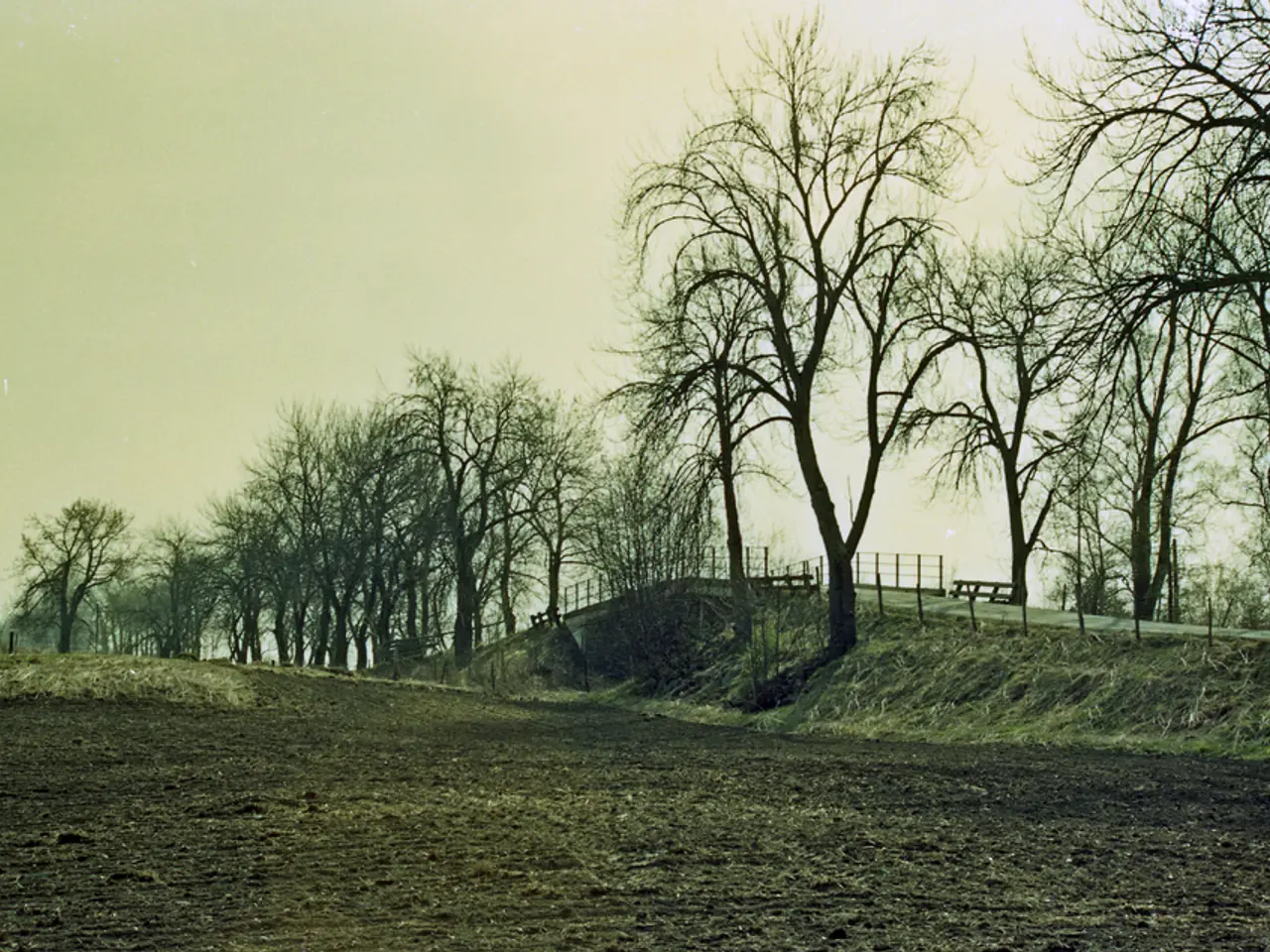
Strategizing Your Four Mile Trail Hike:The trail starts on the south side of Yosemite Valley near the swinging bridge leading up to Glacier Point. To make the most out of it, here's what to consider.
- For a full 10-mile hike, kick off at the valley, conquer Glacier Point, and hike back down. Take advantage of the snacks available at the mid-point Glacier Point rest stop and remember that the descent is a breeze. You can leave your vehicle at the trailhead or hop on a free shuttle bus. This is a great full-day adventure!
- Looking for a one-way hike from the valley to Glacier Point? Catch a ride back. Sadly, there's no free shuttle from Yosemite Valley to Glacier Point. Instead, book a car shuttle with friends or family or opt for a one-way leg of a guided tour bus ride. Even if you're not an experienced hiker, the downhill hike back from the top is simpler than fiddling around with shuttle logistics, in my humble opinion.
- If you can't do the whole climb but still want to enjoy the Four Mile Trail, seize the opportunity of taking a guided tour bus to Glacier Point (or a ride from friends/family) and hike the more manageable 5-mile descent into the Yosemite Valley. This will likely appeal to hikers who have fitness limitations but are eager for a trail experience.
Don't forget to catch my video guide and follow the turn-by-turn instructions for both trail directions.
Flip-Flops or Crampons, It's Your Call:One thing to remember is that starting at Glacier Point and hiking downhill followed by an uphill return hike can be compared to tackling the Grand Canyon. While it's doable if you're well-prepared, know your limits before taking this on.
Osprey Hikelite 26 - My go-to daypack. Light, tough, and keeps my back dry with the trampoline mesh.
Locating the Four Mile Trail:Here's where you can start your adventure:
- The Yosemite Valley Trailhead (also known as Four Mile Trailhead) is situated at: 4 Mile Trailhead, Southside Dr, Yosemite Village, CA 95389
- The Glacier Point trailhead is found right at: Glacier Point, Glacier Point Rd, Yosemite Valley, CA 95389
Norda 001 - Like a monster truck and a comfy pillow had a featherweight baby, for your feet.
Gear Up for the Hike:This trail is a 'hike hike,' so make sure to wear appropriate gear, though fitness clothing can do in a pinch. Still, it's a good idea to pack 2L of water for the uphill journey and refill at water fountains at Glacier Point. Once you reach Glacier Point, treat yourself to some snacks, cool drinks, or an ice cream at the (seasonal) gift shop before embarking on the downhill part of the hike.
Strutting My Gear Stuff:If you need some inspiration on the right gear, check out my top picks below:
Garmin inReach Mini 2 - When I need 100% reliable SOS coverage, this is what I take in the backountry.
- Osprey Hikelite 26 - Ideal for day-long hikes.
- Norda 001 - Perfect for providing comfort and support.
- Garmin inReach Mini 2 - My ultimate choice for SOS coverage in the backcountry.
- AllTrails Plus - Helps you with up-to-date trip reports and off-trail alerts.
- Garmin Fenix 8 - My go-to watch for outdoor navigation, tracking, and routing.
Take a peek at my Top Gear Picks page to learn more about these fabulous must-haves for your adventure!
AllTrails Plus - (30% off link) Up-to-date trip reports. Plus adds offline maps, off-trail alerts, and Garmin sync.
Four Mile Trail Maps:The original Four Mile Trail was an expensive toll road, boasting a consistent, tough gradient. Modernized in the early 1920s, the trail was extended to 4.8 miles, leading to a total distance of about 5 miles one-way. Remember to set realistic expectations based on the trail's length.
- CalTopo View Hike - Discover the trail details in this map.
- Download the GPX File - Export the trail data for easy access.
Garmin Fenix 8 - Took a few updates to get right, but now it's rock solid for me. I use it for maps, tracking, and routing.
Construction and Route History:Did you know that the original Four Mile Trail was built by the man John Muir called "Yosemite's master trail builder" - John Conway? Conway planned the trail route using only a ship's protractor!
[1] Yosemite Guides, A Guide to the Four Mile Trail, 2021.
[2] Yosemite.com, Yosemite Visitor Shuttle Bus System, 2021.
[3] YARTS, Yosemite Area Regional Transportation System, 2021.
[4] NPS, Yosemite National Park, 2021.
[5] Backpacker, Yosemite National Park: Traversing the Four Mile Trail, 2021.
- For a full adventure, start at the Yosemite Valley Trailhead (Four Mile Trailhead) and conquer the 10-mile hike on the Four Mile Trail, with stops at Glacier Point and a rest area, before returning to the trailhead or using a free shuttle bus.
- If you're looking for a one-way hike, consider booking a car shuttle, arranging a ride, or choosing a one-way leg of a guided tour bus ride from Yosemite Valley to Glacier Point, as there's no free shuttle service available from Yosemite Valley to Glacier Point.
- For those who find the full climb of the Four Mile Trail challenging, an alternative option is to take a guided tour bus or a ride from friends/family to Glacier Point and hike the more manageable 5-mile descent into the Yosemite Valley.
- The Four Mile Trail offers breathtaking views of Yosemite National Park, including El Capitan, Half Dome, and Yosemite Falls, making it a worthwhile hiking experience. Don't forget to wear appropriate gear, pack enough water, and consider using a daypack, comfortable hiking shoes, a reliable SOS device, AllTrails Plus for up-to-date trip reports and off-trail alerts, and a watch for outdoor navigation, tracking, and routing.


