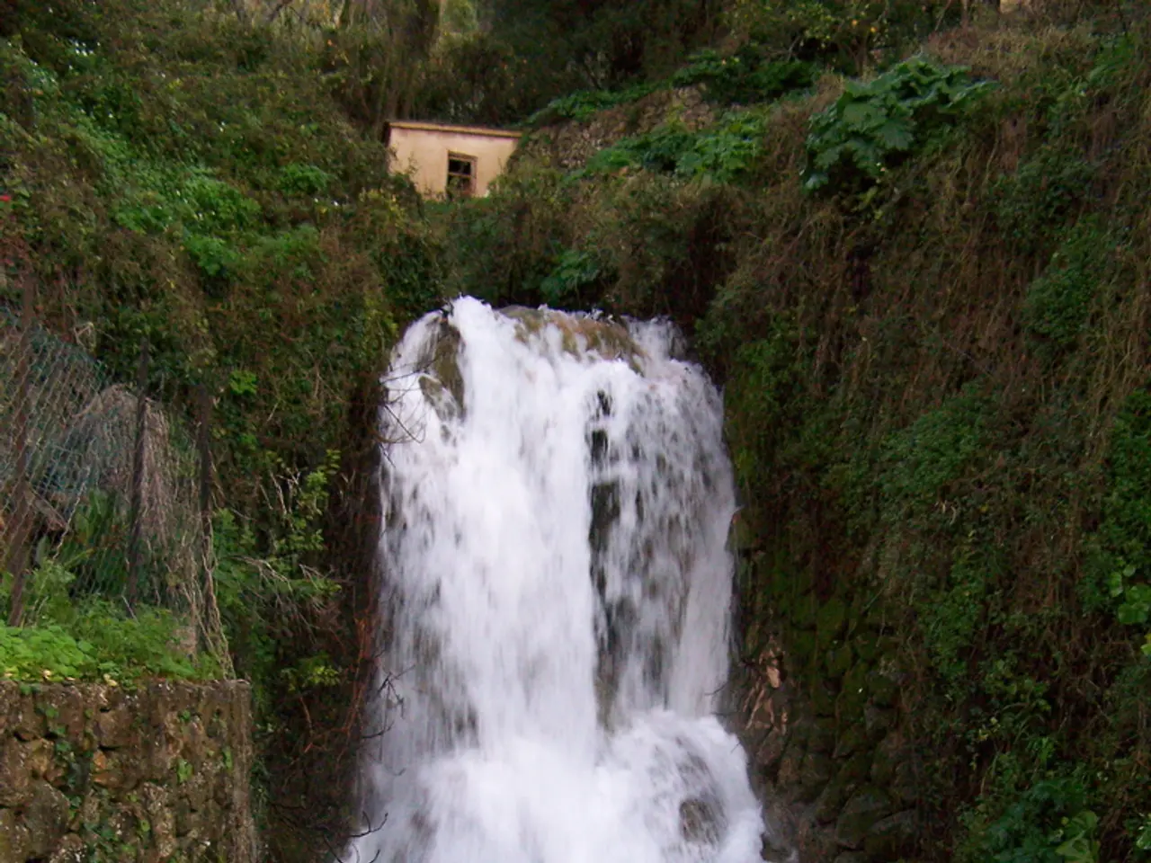
Torrential rains in Texas cause Guadalupe River to overflow, flooding roads and uprooting trees.
The Guadalupe River, a 370-kilometer-long waterway, stretches from Kerr County to San Antonio Bay on the Gulf Coast of Texas. Known for its varying flow conditions, recreational popularity, and flood risks, the river is one of the state's most significant waterways.
Characteristics ----------------
The river's flow is regulated by the Canyon Lake dam, managed by the Army Corps of Engineers, which helps control water levels and maintain safety downstream. The Upper Guadalupe River is free-flowing and dependent on rainfall and spring-fed creeks, with generally good water quality but becomes muddy and cluttered during floods. Flow conditions can change rapidly, especially during rainy seasons.
Risks -----
Despite the regulation by dams and reservoirs, the Guadalupe River is prone to severe flash flooding, which can be life-threatening. Flash flooding is especially dangerous because it can begin within hours or minutes of heavy rain, catching residents and visitors off guard. The river waters can rise swiftly, washing away homes and vehicles. Floods remain a critical threat. Nearly half of all flood-related deaths in the area involve vehicles, highlighting the risks of trying to travel during rising waters.
Popular Activities ------------------
The Guadalupe River is popular for recreational activities such as rafting, canoeing, and fly fishing. Anglers target rainbow and brown trout, guadalupe bass, largemouth and smallmouth bass, striped bass, and other fish species. Tailrace fishing is common below weirs, spillways, and dams such as the West-point Pepperell Dam in New Braunfels. The river also holds cultural significance; for example, the Mandaean-American community in San Antonio performs baptism rituals (masbuta) in its waters.
Summary -------
In summary, while the Guadalupe River offers rich recreational and ecological benefits, it demands caution, especially during rainy periods when flash floods can turn the river into a highly dangerous environment. It is essential for visitors and residents alike to be aware of the risks associated with the river and take necessary precautions to ensure safety.
[1] National Weather Service (NWS) [2] Texas Parks and Wildlife Department [3] U.S. Army Corps of Engineers [4] Texas State University [5] Texas A&M University-San Antonio
- The National Weather Service provides weather forecasting for the Guadalupe River, aiming to inform residents and visitors about potential flooding risks during rainy seasons.
- In collaboration with environmental science, researchers at Texas State University and Texas A&M University-San Antonio study the impacts of climate-change on the flow conditions of the Guadalupe River.
- Although the Guadalupe River offers popular recreational activities such as rafting and fishing, sports-betting is not among them, focusing instead on other sports.
- While the Mandaean-American community continues to perform baptism rituals in the Guadalupe River, it is not directly connected with science, climate-change, the environment, weather, or sports.


