Torrential Downpours Pounce on Eastern Iowa on Early Sunday Morning
Heavy Rainfall Hits Eastern Iowa in August 2025
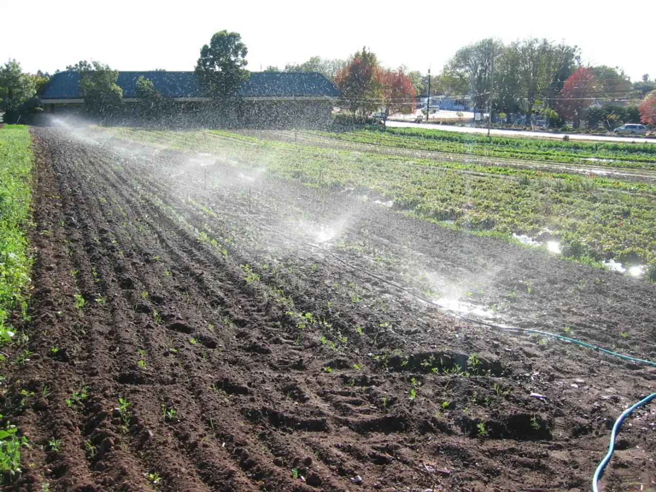
Eastern Iowa faced heavy rainfall in August 2025, with some areas experiencing as much as 5 inches in a short period. The National Weather Service reported that this rainfall was caused by multiple thunderstorm complexes and a low-pressure system that produced intense, localized rain between August 6 and 11.
Dubuque County recorded 4.85 inches at the airport on one day, leading to flooding on Catfish Creek and evacuations in Swiss Valley Nature Reserve. The Cedar Rapids area (Linn County) saw around 2.78 inches, with flooding reported in Marion nearby. Muscatine County received up to 3.23 inches, while Clarke County experienced heavy rain of about 3.85 inches on August 7, causing flash flooding. Black Hawk County (Waterloo) recorded 2.10 inches. Other eastern Iowa locations saw rainfall totals frequently between 2 and 5 inches from successive storms.
The heavy rains were associated with slow-moving thunderstorms fueled by high atmospheric moisture and a passing low pressure and cold fronts.
As of August 23, 2025, the forecast predicts scattered showers and storms, especially south of Highway 20 on Monday evening. A cold front on Tuesday may bring additional scattered showers and storms mainly in the afternoon. However, the forecast does not specify the exact amount of rainfall expected or mention any potential for flash flooding or high levels in creeks, streams, or rivers.
Despite the heavy rainfall, it is not typical for August in eastern Iowa to be associated with wet weather. Many creeks, streams, and rivers in the region reached high levels due to the heavy rains. The forecast covers the period from tonight to Tuesday night, with a dry period expected to follow afterwards.
References: [1] National Weather Service Quad Cities. (2025, August 12). Flash Flood Emergency for Linn, Benton, Tama, Franklin, Hardin, and Jones Counties. Retrieved from https://www.weather.gov/qcd/August2025EasternIowaRainfall [2] National Weather Service Des Moines. (2025, August 11). Flash Flood Warning for Muscatine County. Retrieved from https://www.weather.gov/dmx/August2025MuscatineRainfall [3] National Weather Service Davenport. (2025, August 8). Flash Flood Warning for Clarke County. Retrieved from https://www.weather.gov/dav/August2025ClarkeRainfall [4] National Weather Service La Crosse. (2025, August 10). Excessive Rainfall Warning for Allamakee County in Eastern Iowa. Retrieved from https://www.weather.gov/lcx/August2025AllamakeeRainfall
- The heavy rainfall that hit Eastern Iowa in August 2025 was reported by KMCH, the local news station, and was attributed to multiple thunderstorm complexes and a low-pressure system.
- On August 7, 2025, Muscatine County received up to 3.23 inches of rain, which was reported by the National Weather Service Des Moines and caused flash flooding in the area.
- The National Weather Service Quad Cities issued a Flash Flood Emergency for Linn, Benton, Tama, Franklin, Hardin, and Jones Counties in Eastern Iowa on August 12, 2025, due to intense, localized rain.
- Despite the heavy rainfall, the weather forecast for Eastern Iowa, as of August 23, 2025, predicts scattered showers and storms, particularly south of Highway 20, but does not specify the exact amount of rainfall expected or mention any potential for flash flooding or high levels in creeks, streams, or rivers.


