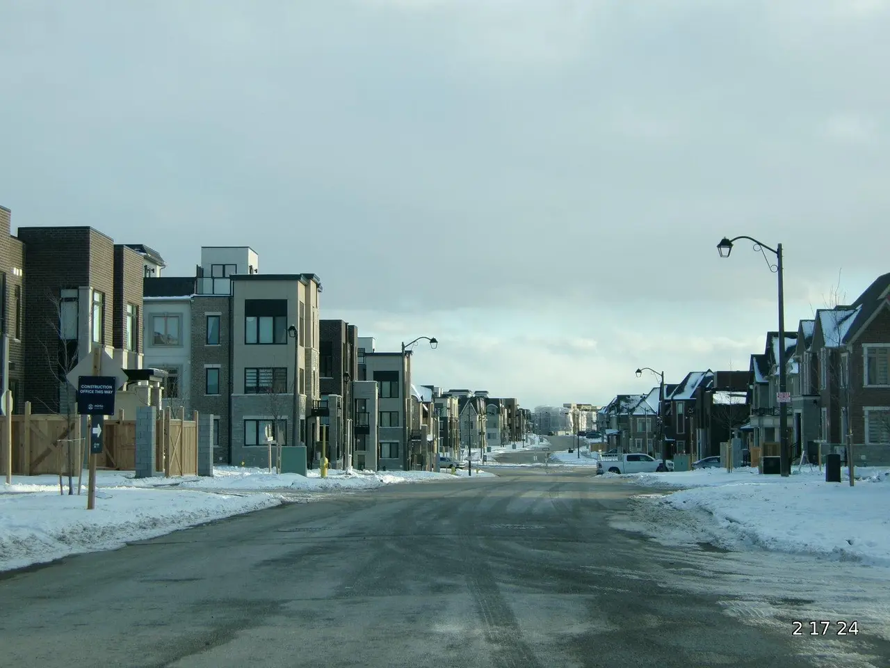
Toronto braces for another winter storm as snowfall warning hits midweek
Southern Ontario remains gripped by a polar vortex, with freezing temperatures set to last through January. Now, a fresh snowfall warning has been issued for the Toronto area, marking the second such alert in just a week. Drivers and commuters are being urged to prepare for difficult conditions on Wednesday evening.
Environment Canada released a yellow-level snowfall warning for Toronto and surrounding regions on Wednesday. The affected areas stretch from Mississauga and Vaughan to Kingston, including cities like Markham, Pickering, and Oshawa. Forecasters predict up to 10 centimetres of snow in Toronto, with higher totals likely in parts of Durham Region.
The latest snowfall follows a heavy storm last week that dumped as much as 35 centimetres in some places. This time, the timing of the snow will coincide with the evening commute, creating hazardous road and pavement conditions. Reduced visibility from steady snowfall could further slow travel, particularly during rush hour. The region is already battling extreme cold under a lingering polar vortex. The combination of fresh snow and frigid air will make outdoor activities more challenging for residents and workers alike.
The warning remains in effect for Wednesday, with snow expected to disrupt evening travel. Commuters are advised to allow extra time and exercise caution on untreated surfaces. The cold snap and repeated snowfall continue to test infrastructure and daily routines across the region.


