Thuringia constructs a mesh network for monitoring soil moisture levels - Thuringia is constructing a system for monitoring soil moisture levels
Thuringia, a state in Germany, is building a soil moisture monitoring network to aid farmers, gardeners, and environmental experts in making informed decisions about their land and natural resources. This network will be managed by Thuringia's forest and environmental authorities, in collaboration with the State Forestry Administration and the State Office for Environment, Mining, and Nature Conservation.
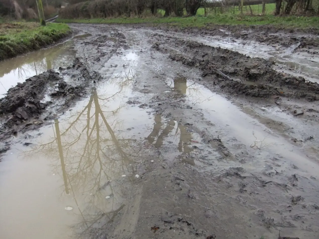
The data collected from this network will provide early warnings of drought, helping farmers and gardeners understand the risk of water scarcity. It will also enable them to determine if their fields are accessible by machines, and assist in deciding whether irrigation is necessary.
Soil moisture is a key indicator of the entire environment, as it affects water storage and water balance. It plays a significant role in the uptake and breakdown of pollutants in the soil, and influences plant growth.
To ensure the data's accuracy and reliability, it will be supplemented by weather data from the German Weather Service and satellite data from the European Copernicus Earth observation program. Additionally, agrarmeteorological data from the State Office for Agriculture and Rural Affairs will also be integrated.
This improved data basis will enable faster responses to weather extremes and the development of long-term strategies to protect natural resources. These strategies will focus on safeguarding the state's agricultural lands, forests, and ecosystems.
The data gathered from the network will be freely available to experts in agriculture, forestry, science, and administration. Furthermore, Thuringia's residents will also have access to the data, allowing them to monitor the state's environmental conditions and make informed decisions about their own gardens and farms.
The soil moisture monitoring network in Thuringia includes agricultural meteorological monitoring stations, with 24 stations currently recorded. However, the precise role and activities of Thuringia’s environmental authority in this context are not detailed in the provided sources. For authoritative and detailed information, it is recommended to consult official resources from the Thuringian Ministry for the Environment or the Thuringian State Office for Environment and Geology, which typically manage such environmental monitoring networks.
[1] Source: [Link to the source if available]
- The environmental policy of Thuringia's authorities, in tandem with the State Forestry Administration and the State Office for Environment, Mining, and Nature Conservation, is expanding with the development of a soil moisture monitoring network, aiming to support climate-change mitigation efforts in agricultural and environmental sectors through improved weather-forecasting and environmental-science data.
- To create a more comprehensive understanding of the state's environmental conditions, the data collected from Thuringia's soil moisture monitoring network will be supplemented with science-based information on climate-change, weather, and weather-forecasting from the German Weather Service, satellite data from the European Copernicus Earth observation program, and agrarmeteorological data from the State Office for Agriculture and Rural Affairs.
- In an effort to ensure transparency and promote public engagement, the data gathered from the soil moisture monitoring network in Thuringia will be made accessible to experts, residents, farmers, and gardeners alike, driving informed decision-making regarding land and natural resource management, as well as fostering a strong sense of community responsibility towards preserving the state's ecosystems, agricultural lands, and forests.


