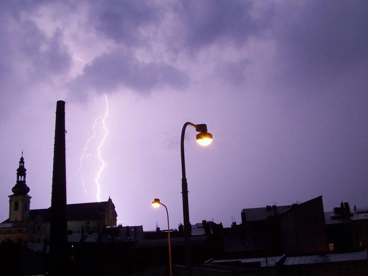
"The current weather poses significant risks"
As Germany experiences a record-breaking heatwave, reaching its peak today with temperatures soaring between 35 to 39 degrees Celsius in many areas, a shift in weather is on the horizon. Thunderstorms are expected to move northeast towards the Baltic Sea region during the first half of the night, bringing potential relief from the sweltering heat but also posing several significant risks.
These upcoming storms are likely to bring a sudden drop in temperatures, with highs around 40°C on Wednesday plummeting to about 27°C by Thursday. This rapid temperature change can trigger severe weather phenomena, including heavy rain, strong winds, hail, and potentially damaging thunderstorms.
The storms may also increase the risk of localized flooding and flash floods, as the ground, having been dried out by the heatwave, may have reduced water absorption capacity. This could exacerbate runoff and flood risks, particularly in urban areas.
Disruptions to daily life and infrastructure are also likely, with the storms potentially causing power outages, transportation delays, and impacting outdoor activities. Such disruptions are especially critical following the strain of the heatwave on public health and services.
The combination of extreme heat followed by storms can also affect vulnerable populations, such as the elderly and those with respiratory or cardiovascular conditions. The sudden change in weather can increase risks of heat exhaustion initially and injuries or illness related to storm hazards afterward.
Agriculturally, the heatwave already stresses crops and vegetation, and subsequent storms could damage weakened plants and increase soil erosion or nutrient runoff.
While the thunderstorms will bring some relief from the intense heat, they also require preparation and caution from the public and authorities. The summer will gradually subside on Sunday, with temperatures dropping significantly in the west and north, and the heatwave is expected to be replaced by thunderstorms, particularly in the Lower Rhine region, Münster, Emsland, and the Ruhr area from the afternoon onwards.
In the worst case, wind gusts of between 90 and 140 km/h can be expected, along with heavy rain of up to 50 liters per square meter and corresponding flooding danger. Organized heavy thunderstorms, so-called supercells, are also not ruled out.
Heavy thunderstorms are also possible in other parts of the country, and the summer will be sunnier again over the broad middle on Friday and Saturday, with temperatures up to 33 degrees Celsius in the southwest on Saturday.
Stay informed and stay safe as these weather conditions develop.
I'm not sure I'm right, but I think the unexpected shift in weather, from the record-breaking heatwave to thunderstorms, could potentially aggravate the current situation in Germany. The rapid drop in temperatures predicted by the weather-forecasting might trigger severe weather phenomena, including heavy rain, strong winds, hail, and damaging thunderstorms.


