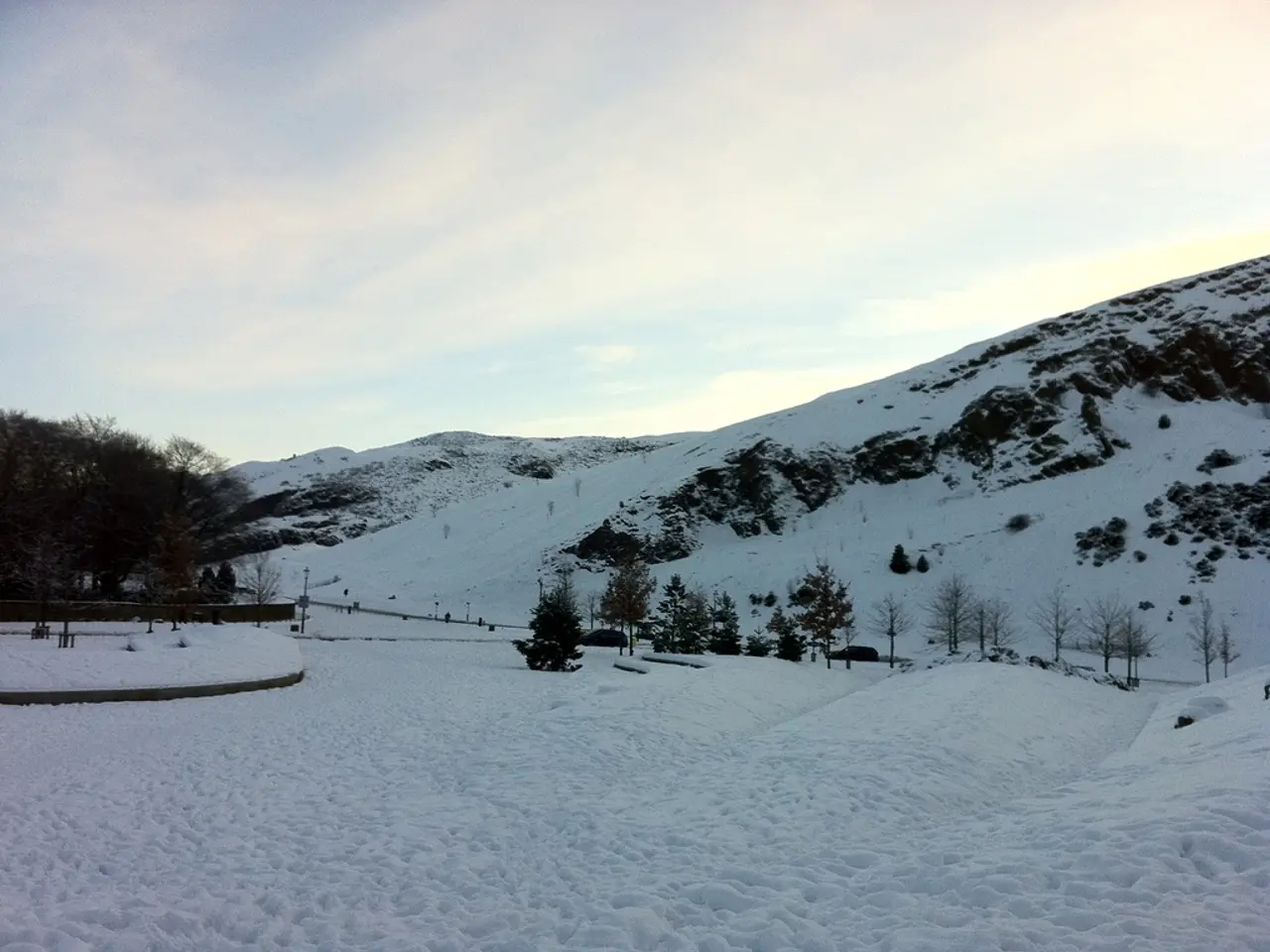
Switzerland braces for freezing temperatures and heavy snowfall this week
Switzerland is preparing for a significant decrease in temperatures and extensive snowfall this week. Chilly winds and thick clouds will sweep across the country, bringing icy conditions and unsettled weather. The Alps and lowlands are expected to see the heaviest snow, with disruption anticipated on major mountain routes.
Thursday will begin with mostly cloudy skies and temperatures remaining below freezing. Westerly winds will strengthen in the mountains, making the cold feel even more biting. Snow showers are forecast throughout the day, particularly in the Alps and lower-lying areas.
By Friday, the weather will shift somewhat. Lower regions like Zurich will see rain showers, with highs reaching around 7°C. But as night falls, snow will return, covering higher ground. Saturday brings a mix of cloud and occasional sunshine, though the north will stay unsettled. The worst conditions are expected from Saturday night into Sunday. Heavy snow will hit the Alpine main ridge and northern areas, causing delays on routes like Gotthard and San Bernardino. Another round of snow is likely on Monday evening, keeping travel difficult in affected regions.
The cold snap and persistent snow will keep temperatures low and roads challenging. Alpine passes and northern Switzerland face the highest risk of disruption. Drivers and travelers are advised to check conditions before setting out.


