
Summer Storm Floris forecasted to exhibit exceptional strength
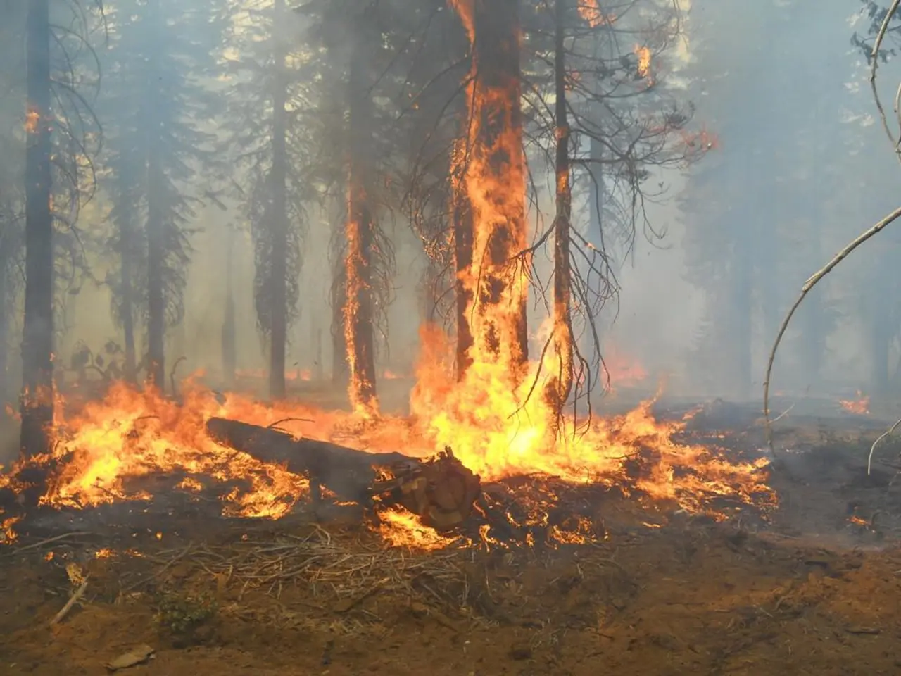
Storm Floris, making its way towards Ireland and the UK, is expected to bring wet, unseasonably strong winds, and heavy rainfall starting late Sunday night through Monday afternoon [1]. This weather system is predicted to cause a variety of hazards, including dangerous travel conditions, structural damage, fallen trees, power outages, wave overtopping, and localized flooding [1].
The storm is characterized by notably strong westerly winds, with gusts potentially reaching 40-50 mph inland and stronger gusts on coasts and high ground [1][2]. These conditions have led the UK Met Office to issue yellow wind warnings extending into parts of Northern Ireland adjacent to Ireland [2].
While the storm has been described as unusually strong for the season, it is not currently reported as undergoing explosive cyclogenesis or labeled as a weather bomb by Met Éireann or the UK Met Office [1][2][3][4]. Explosive cyclogenesis, also known as a "weather bomb," is a mid-latitude cyclone whose central pressure drops rapidly by at least 24 millibars in 24 hours. However, the storm's strong winds and rainfall alone make it a significant weather event.
Met Éireann has issued weather advisories and plans to issue further warnings as the situation develops [1]. They are warning of dangerous driving conditions, fallen trees, debris, structural damage, wave overtopping, and localized flooding [5]. The UK Met Office is predicting potentially record gusts for this time of the year, of up to 100km/h or more in the northwest of Ireland and Northern Ireland early on Monday [6].
The storm could impact a large number of outdoor events, people camping, holidaying, and engaging in outdoor pursuits. It's important to pay attention to weather forecasts and warnings, and take them into consideration with any plans [7]. Expect lots of reminders and advice about taking care, avoiding hazards, and driving carefully over the coming days.
In the past, similar storms have caused significant damage. For instance, Storm Betty two years ago resulted in flooding, fallen trees, branches, and debris across the south of the country, with electricity outages affecting 70,000 homes, farms, and businesses [8]. Damage to trees in Ireland could lead to damage to electricity poles, power outages, and local disruption to the electricity supply network.
It's worth noting that the four other August named storms since the convention of naming storms was adopted in Ireland have resulted in similar stories and challenging experiences [9]. In 2016, Storm Francis hit Ireland, and some apple growers lost as much as 30% of their crops due to wind damage [10].
As always, safety is paramount. Forecaster Andrew Doran-Sherlock advises paying attention to weather forecasts and warnings, and taking them into consideration with any plans [7]. Stay tuned for further updates as the storm approaches.
References: [1] Met Éireann. (n.d.). Storm Floris. Retrieved from https://www.met.ie/weather/warnings/ [2] Met Office. (n.d.). Storm Floris: Yellow wind warning issued for Northern Ireland. Retrieved from https://www.metoffice.gov.uk/weather/warnings-and-advice/uk-status-yellow/wind#?date=2022-10-09 [3] Met Office. (n.d.). What is explosive cyclogenesis? Retrieved from https://www.metoffice.gov.uk/weather/science/climate/weather-bombs [4] Met Éireann. (n.d.). Explosive Cyclogenesis. Retrieved from https://www.met.ie/weather/warnings/explosive-cyclogenesis/ [5] Met Éireann. (n.d.). Status Yellow Wind Warning - Ireland. Retrieved from https://www.met.ie/weather/warnings/wind/ [6] Met Office. (n.d.). Storm Floris: Yellow wind warning issued for Northern Ireland. Retrieved from https://www.metoffice.gov.uk/weather/warnings-and-advice/uk-status-yellow/wind#?date=2022-10-09 [7] Met Éireann. (n.d.). Storm Floris: Advice for the public. Retrieved from https://www.met.ie/weather/warnings/advice/ [8] Met Éireann. (n.d.). Storm Betty. Retrieved from https://www.met.ie/weather/warnings/storm-betty/ [9] Met Éireann. (n.d.). Named storms. Retrieved from https://www.met.ie/weather/warnings/named-storms/ [10] The Irish Times. (2016, October 24). Storm Francis: Apple growers lose 30% of crop. Retrieved from https://www.irishtimes.com/news/environment/storm-francis-apple-growers-lose-30-of-crop-1.2806792
The upcoming storm, Storm Floris, is anticipated to bring wet, unseasonably strong winds, and heavy rainfall from late Sunday night to Monday afternoon, potentially causing hazards such as dangerous travel conditions, fallen trees, power outages, wave overtopping, and localized flooding. Awareness of weather forecasts and warnings, and reconsideration of plans in light of these should be exercised, as similar storms in the past have resulted in significant damage.


