
Successful Launch of Weather Satellite MTG-S1
The German Weather Service (DWD) and the European meteorological community are excited about the recent launch of the MTG-S1 weather satellite from the Kennedy Space Center in Florida, USA. This new satellite is set to revolutionise storm prediction and weather forecasting across Europe and beyond.
Equipped with a state-of-the-art Infrared Sounder (IRS), MTG-S1 is the first European geostationary satellite to carry such an instrument. The IRS will provide high-resolution data for measuring temperature and air humidity, as well as indirectly offering insights into wind patterns at various heights of the Earth's atmosphere.
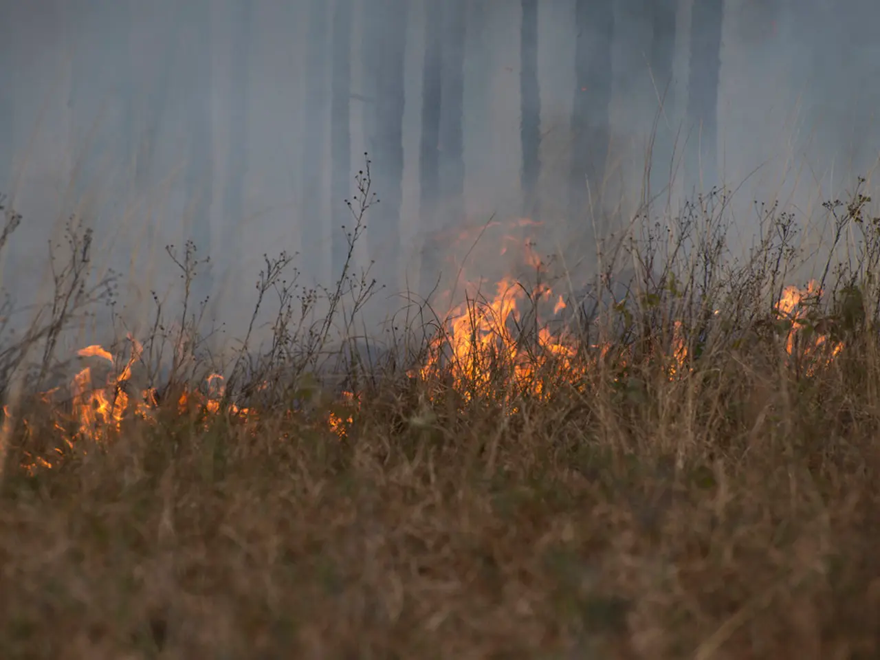
One of the key advantages of MTG-S1 is its hyperspectral infrared sounding capability, which allows for detailed three-dimensional mapping of the atmosphere. This feature enables meteorologists to detect early warning signs of storms before they fully develop. The satellite's ability to observe vertical air movements, including temperature inversions that can trap cooler air beneath warm layers, is particularly critical. Traditional imagers cannot detect these inversions, but MTG-S1's sounder makes them visible, offering a significant improvement in storm prediction.
The data from MTG-S1 will also support Nowcasting and Early Detection, enabling scientists to detect rapidly developing storms right at their inception. This is essential for short-term forecasting and increases warning lead times.
In addition to its meteorological benefits, MTG-S1 carries the Copernicus Sentinel-4 instrument, which monitors air quality by analysing atmospheric composition, including aerosols, ozone, nitrogen dioxide, and sulfur dioxide. This information benefits public health, agriculture, and environmental research by delivering improved air pollution forecasts.
The satellite's high temporal resolution ensures frequent updates, with atmospheric profiles over Europe available every 30 minutes. This allows meteorologists to monitor fast-evolving weather phenomena closely.
The launch of MTG-S1 is significant for weather forecasting, as it aims to improve the accuracy and timeliness of storm predictions. By incorporating MTG-S1 data into both regional and global forecasting models, the link between short-term forecasts and multi-day forecasts will be strengthened.
Moreover, MTG-S1's data will allow for more precise predictions of the occurrence, location, and severity of convective storms, such as thunderstorms, storm events with high rainfall, or hail. The satellite is expected to contribute to better storm prediction capabilities, leading to improved safety for communities and reduced damage from severe weather events.
The German Weather Service (DWD) and the German Aerospace Center (DLR) have expressed their excitement about the potential of MTG-S1. DWD President Sarah Jones explained that they will issue warnings based on the data from MTG-S1, while DLR stated that the data from the IRS will provide information about the wind in different heights of the Earth's atmosphere.
The launch of MTG-S1 was supported by Germany, demonstrating the country's commitment to advancing weather forecasting technology. The satellite's spectrometer will also be used for hourly detection of air pollution across Europe, further enhancing its environmental monitoring capabilities.
In conclusion, the MTG-S1 weather satellite offers several key features and benefits that significantly improve storm prediction and weather forecasting. These improvements will help reduce damage and casualties from severe storms, enhance public safety, and support environmental monitoring across Europe.
For science and space-and-astronomy enthusiasts, the launch of the new weather satellite MTG-S1 is a significant step in improving weather forecasts. Equipped with an Infrared Sounder, this geostationary satellite will revolutionize storm prediction by offering high-resolution data for measuring temperature, air humidity, and detecting early signs of storms. Furthermore, its hyperspectral infrared sounding capability will provide detailed three-dimensional mapping of the atmosphere, offering a significant improvement in storm prediction for the betterment of weather forecasting, public safety, and environmental monitoring across Europe.


