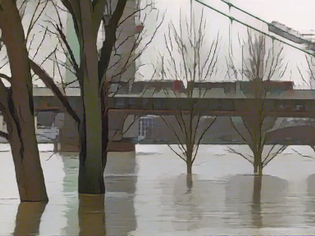
Warning issued for severe flooding in various North Rhine-Westphalia regions
In a recent report, the Environment and Consumer Protection Agency of North Rhine-Westphalia (LANUV) has warned of potential significant flooding in certain regions of the state, due to persistent rainfall. According to their forecasts, the highest flood warning threshold is likely to be surpassed at monitoring stations in the Ems (Wolbeck), Lippe (Nordborchen, Bentfeld, Kesseler 3 station, Westtünnen), Berkel (Stadtlohn-Schanzring), and Vechte (Wettringen B70) catchments.
This highest warning level signifies the increased risk of more extensive flooding of built-up areas. At the time of the announcement, the threshold wasn't yet reached at any monitoring station.
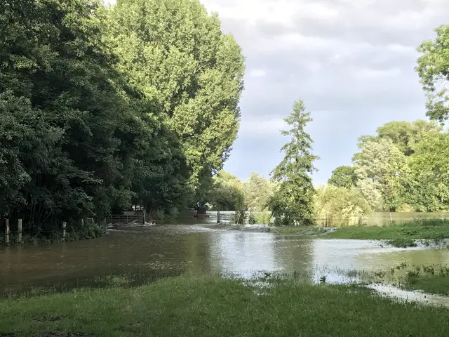
As reported, the overall water levels continue to rise in various catchment areas, while they remain steady or decreasing slightly in others. Further increases in these levels can't be ruled out with the predicted additional rainfall.
At this point, the second-highest warning threshold has been surpassed at five monitoring stations. The affected areas predominantly include the Ems and Lippe rivers, with two monitoring stations each. This warning level indicates the risk of flooding of individual properties or cellars and potential closure of local roads.
In response, local authorities will decide on necessary actions, which may include road closures or the placement of sandbags. The soils in North Rhine-Westphalia are already largely water-logged from the recent rains, meaning any new precipitation will drain off the surface.
Residents in the Stadtlohn and Berkel districts should closely monitor the weather updates, as the LANUV has issued a flood warning for the Berkel River. In Recklinghausen, residents are advised to stay informed about the latest weather conditions and prepare for potential floods, as the Ems river in Wolbeck is anticipated to reach critical levels.
The authorities in North Rhine-Westphalia urge residents to review their emergency preparedness kits, ensuring they have essential supplies such as food, water, and vital documents, as the flood risk remains high across multiple rivers in the state.
Multiple North Rhine-Westphalia cities and towns, including Borken, Osnabrück, and Emden, are at risk of flooding from swollen rivers such as the Ems, Lippe, Berkel, and Vechte. To minimize environmental damage, environmental agencies are requesting residents and businesses to reduce water usage, reduce waste, and follow emergency waste disposal guidelines.
Local authorities in the affected regions have established emergency response teams, prepared temporary shelters, and issued evacuation orders for the most vulnerable areas, including neighborhoods near rivers and floodplains.
Sources:
Enrichment Data: The sources provided do not directly address flood warnings and preparations in North Rhine-Westphalia due to persistent rainfall and potential flooding of several rivers. However, they do offer some general related information:
- Flood Risk Management in Germany: A European Commission document (KOM (2025) 0002) discusses the implementation of the Water Framework Directive and the Floods Directive in Germany, which includes measures for flood risk management and the creation of flood hazard and risk maps. This hints at a broader framework for flood risk management in Germany, which could possibly apply to North Rhine-Westphalia.
- Past Flood Incidents: A study on the 2021 flood in the Ahr valley highlights the significance of accurate hazard maps and timely evacuation warnings in emergency management during flood situations. It emphasizes the demand for strengthening public understanding of flood dangers and improving forecasting techniques for flood impacts.
- Satellite Monitoring: Research on the 2021 Western Europe flood event suggests that satellite data can be used to monitor and predict flood events, potentially providing benefit for implementing early warning systems in regions at risk of flooding.
- Post-Mining Landscape Management: Although not directly related to flood warnings, this source discusses the environmental consequences of mining activities and the need for hydrological interventions to restore natural water pathways. This insight may be pertinent for understanding the larger environmental context that could influence flood management.
To obtain the latest and most accurate flood warnings and preparations for North Rhine-Westphalia, please consult local authorities or weather services. The European Commission document and the study on the 2021 Ahr valley flood offer general concepts about flood management and the value of accurate hazard maps and timely warnings, but they do not deliver current-day warnings or real-time information.


