
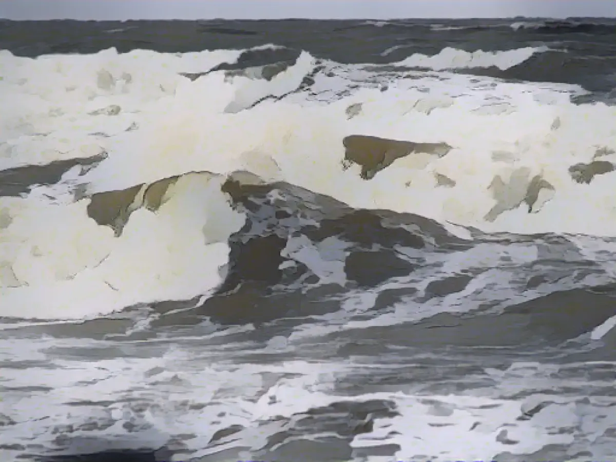
Unveiling Advanced Flood Protection: A 3D Approach
Minister Katrin Eder from Rhineland-Palatinate's Green Party will debut a groundbreaking technology for combatting floods and flash floods this Friday (9:00 a.m.) in Mainz. With the aid of geodata and cutting-edge modeling software, forecasters will have the ability to simulate extreme weather conditions in three dimensions. This technological leap is expected to significantly improve decisions during severe rainfall, potentially lessening the impact of real-life flooding incidents.
Eder will present this innovative flood protection system alongside the Environmental Office, accompanied by a captivating 3D simulation, and new maps illustrating the risks associated with flash floods. This system's purpose is twofold: at the core, it will empower officials to better respond to natural disasters, thereby mitigating potential damage.
In the realm of flood prediction and risk reduction, this advanced technology transforms the way emergency services can strategize and act.
Under the hood of this remarkable flood protection system lies a combination of geospatial data, 3D modeling, hydrological simulations, machine learning, and decision-support tools.
- Collecting and Integrating Geospatial Data:
- High-resolution geospatial data (such as topographical and bathymetric measurements) is gathered and utilized to create intricate digital terrain models (DTMs) of floodplains. Data is sourced from aerial laser scanning, satellite images, or orthophotos.
- Hydrological and Hydraulic Modeling:
- 3D models comprising floodplains and river basins are developed, integrating hydrological and hydraulic data. This includes crafting an all-encompassing digital terrain model for floodplains, incorporating topography and bathymetry details.
- Flood Scenario Simulation:
- Utilizing hydrological models, these scenarios are then simulated, assessing the effects of intense rainfall on floodplains. This involves analyzing precipitation impacts on 2D model cells and routing runoff through the stream network.
- Incorporating Machine Learning Models:
- The KI-HopE-De project, of which Rhineland-Palatinate is a part, employs machine learning techniques to generate statistically sound, efficient simulations. By leveraging hydrometeorological measurement data and forecasts, this project nurtures a national, machine learning-driven probabilistic flood forecasting tool for small catchments in Germany.
- Decision-Support Tools:
- The system generates flood hazard and risk maps, symbolizing areas of substantial, moderate, and minimal flood risk. These maps facilitate the identification of areas that must undergo protective measures—both structural and non-structural.
- Interdisciplinary Collaboration:
- The system is a product of interdisciplinary and inter-institutional cooperation, drawing on expertise from hydrology, meteorology, and machine learning. This ensures that the models align seamlessly with operational aspects of state and federal authorities, thereby facilitating effective post-project implementation and ongoing model operation.
These interconnected components contribute to the simulation of extreme weather scenarios in three dimensions. This breakthrough technology enables more accurate short-term flood predictions and aids in the development of efficient flood risk management strategies.


