"Winter's Arrival" signaled by shifting weather patterns
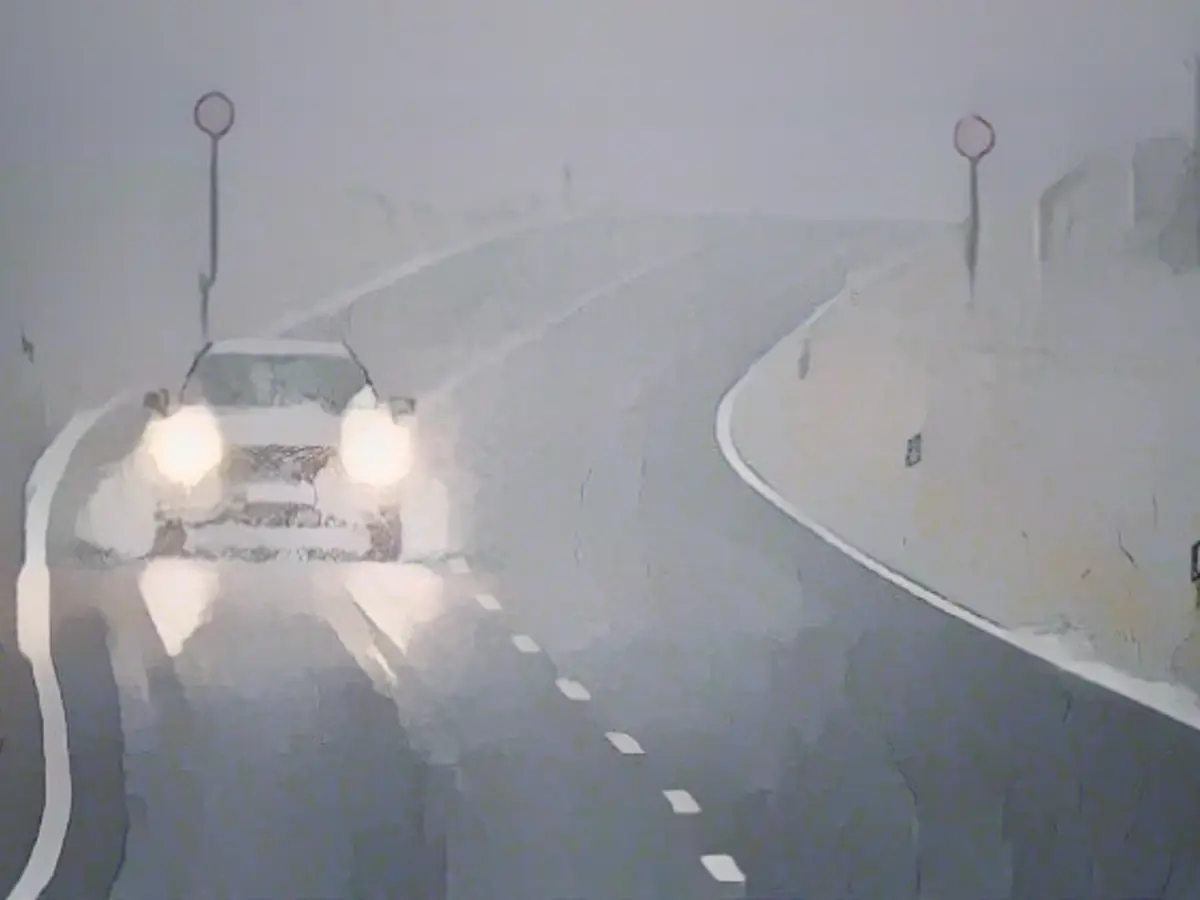
The upcoming weeks are set to witness an early and noticeable onset of winter, particularly in the mountainous regions of Germany. This change in weather is attributed to the approach of a low-pressure system, bringing with it a generous dumping of snow in some areas. Even the lower lands may experience their first flakes of the season, accompanied by chilly nights that might lead to icy road conditions.

ntv: What level of winter are we looking at?
Meteorologist Björn Alexander shares that we can expect a marked winter experience – particularly in mountainous regions, which may experience heavy snowfall. Additionally, there's a possibility of the first flurries of the season in lower elevations. Apart from snow showers, nighttime frost and slippery conditions may develop due to frost or wet ice.
What weather conditions will trigger winter's arrival?
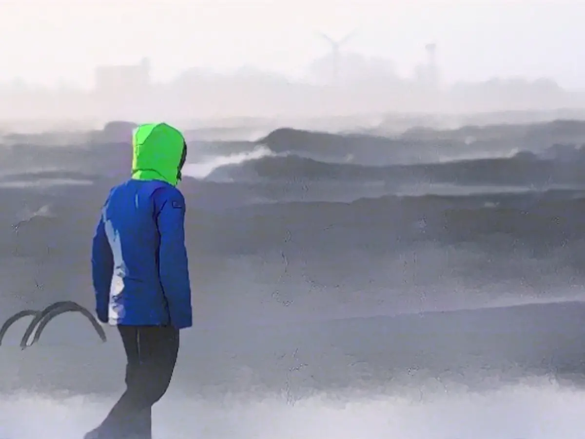
Currently, the low-pressure system dubbed "Niklas" is making its presence felt in northern Europe, bringing strong snowfall and drifts in some regions, notably the Scandinavian mountains. This large-scale pressure disparity between Atlantic High Bionda and the storm system's foothills is causing intense wind bursts, sometimes reaching speeds of over 150 kilometers per hour in some of the extreme areas.
But isn't the cold front still limited at the moment?
While outset, the low-pressure system "Niklas" will introduce a pulse of milder air with peak temperatures of up to 14 degrees, the cold front will shift southwards by Friday, leading to a tap in of chilly polar air from the far north. Given that winter has already established itself in Scandinavia, the snow line will drop swiftly. Initially, this snow line stands at 400 to 600 meters in the midlands and below 800 to 1000 meters in the south, before the snowfall begins.

Where will the heaviest snowfall occur?
Lower altitudes are most likely to witness the debut of the first blankets of snow in the north, east, and south. The weather models remain tentative on this matter, but the Canadian Global model forecasts up to 10 centimeters of snow in some areas with the heaviest snowfall, carrying an acute risk of icy patches. Mountainous regions will experience the most intense wintry conditions.
What do the snow forecasts predict?
Depending on the chosen weather model, as much as 40 centimeters of fresh snow may accumulate in high-altitude areas, specifically the Alps, and may even span over a meter. These regions will witness challenging driving conditions due to the wintry road conditions, and the risk of avalanches will increase.
How chilly will the temperature be in Germany?
From Friday onwards, we can anticipate temperatures dropping to the freezing range during the night. Even with the wind abating only gradually, the overall temperatures will feel frigid again. The perceived temperature, known as the wind chill, will dip to below minus 10 degrees Celsius on the mountains by Saturday morning. Meanwhile, there is also an increased chance of frost in the remaining areas of the nation during the night. During the day, temperatures will range from minus 2 to 8 degrees Celsius on Saturday and minus 3 to 6 degrees Celsius on Sunday.
Will there be any sunshine in between?
The weekend's cyclical weather will create moments of sunlight puncturing the heavens, though forecasting those exact breaks in the clouds isn't quite as certain. It seems more likely that the potential for longer sunshine will manifest on Sunday, primarily in the northeastern regions.
And what about next week?
Many weather predictions lean towards a drawn-out winter, with the forecasts including a small but potent low-pressure system that could pass through on Tuesday and Wednesday, bringing occasional snow to even the lower regions in the western part of the country. Consequently, the trends for December move towards winter conditions, focusing more on snow and ice than rain and storms. South of the Alps, lighter snow showers and occasional rain may be the norm.
The looming winter in Germany carries significant implications due to the influence of International Meteorology. Björn Alexander, a meteorologist, foresees an early and notable onset of winter, particularly in mountainous regions, with heavy snowfall. The north, east, and south may also witness the first snowflakes of the season, posing icy challenges on roads and amplifying winter's chill with potential nighttime frost. Keep warm, and watch out for the change in weather!
Source:
Enrichment Data:
While the original source does not mention a low-pressure system named "Niklas," it does discuss the upcoming winter weather conditions in Germany due to various low-pressure systems and contrasting air masses.
- Source 1: Indicates that an approaching low-pressure system is bringing snow and possible icy conditions to various regions, particularly in the Alpine areas and eastern and northeastern Germany. Significant snowfall is anticipated, with accumulations reaching up to 20 centimeters in Alpine areas by Friday evening. Icy patches on roads are also expected, and temperature highs will vary from minus one degree Celsius in the northeast to plus nine degrees Celsius along the Hochrhein region[1].
- Source 4: Describes a varied weather pattern with rain, snow, cold, and mild temperatures reported across the country. Northern regions are expected to endure cold and wintry conditions, while southern areas will experience milder and wetter weather. Significant precipitation is expected at the boundary where cold and warm air masses collide, with potential heavy snowfall in northern regions by Thursday[4].
- Source 1 also mentions that the snow line will lower to the plains, with some areas in eastern and northeastern Germany likely to see a few centimeters of snow accumulation. The transition from rain to snow is expected specifically in the southern parts of the country, as the weekend approaches[1].


