Mussoorie Faces Severe Landslide Threats Due to Unchecked Development
Mussoorie, a renowned hill station in Uttarakhand, grapples with severe landslide threats due to unchecked development. A recent study by the Wadia Institute of Himalayan Geology (WIHG) reveals alarming figures, with nearly 15 percent of the area classified as high-risk. Similar pressures are mounting in other Uttarakhand towns like Nainital, Champawat, Pithoragarh, and Joshimath due to construction activities.
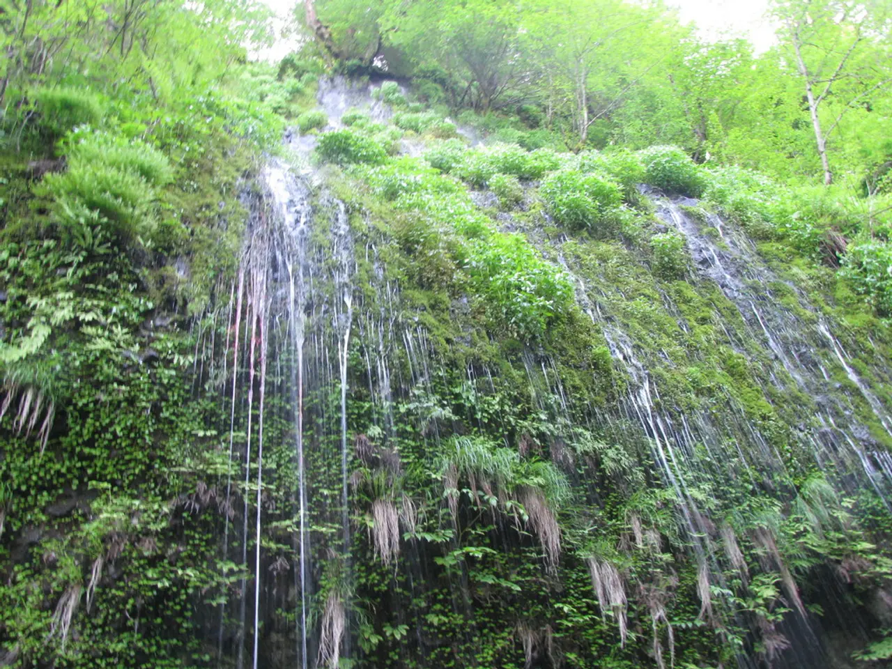
The WIHG study utilized Geographic Information System (GIS) and high-resolution satellite imagery to create a detailed Landslide Susceptibility Mapping (LSM). It identified several vulnerable areas in Mussoorie, including Bhattaghat, George Everest, Kempty Fall, Khatta Pani, Library Road, Galogidhar, and Hathipaon. The underlying geology, featuring highly fractured Krol limestone formations, and steep slopes exceeding 60 degrees, contribute to the instability.
Unregulated construction and extensive road cutting have exacerbated the situation. The study found that 29 percent of the surveyed area is in the moderate risk zone, and 56 percent falls under low to very low susceptibility. However, the high-risk zones pose an immediate threat, demanding urgent attention.
To mitigate future landslide disasters, scientists advise halting uncontrolled construction, stopping indiscriminate road cutting, and banning rampant deforestation. These measures can help preserve the stability of these slopes and protect the lives and properties of Mussoorie's residents.


