National Geographic Society's Maps in World War II: A Testament to Innovation and Resilience
Maps took center stage for National Geographic during World War I, propelling them into the map-making industry.
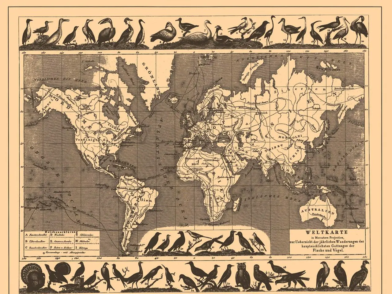
During World War II, the National Geographic Society's maps took on a new significance. They became repositories for the hopes, fears, and resolutions of a world determined to beat back tyranny.
The Society had been making maps since the First World War, thanks to the establishment of a map department by Gilbert Grosvenor, its president, in 1915. Albert H. Bumstead, the Society's chief cartographer, played a pivotal role in pushing the Society to the forefront of international mapmaking due to his innovative mapping techniques.
When the U.S. entered the war, the Society's maps were sought after by both federal agencies and Society members. One of the most influential maps produced during the war was 'Germany and its Approaches,' published just weeks after D-Day. This map provided detailed information about the Allies' progress toward the heart of Nazi Germany and was distributed to British and American officers in the field.
James Darley succeeded Bumstead as chief cartographer after Bumstead's death in 1940. Darley continued Bumstead's innovative cartographic techniques, overseeing the production of over 540,000 paper and 21,000 linen maps sent to the War Department alone between 1939 and 1945.
One of the most notable contributions of the Society during the war was the creation of a map that helped President Roosevelt understand the location of various remote Pacific islands not shown on their maps, shortly after the surprise attack at Pearl Harbor. Grosvenor even gifted a handmade map cabinet to President Roosevelt, designed and built by Society workers. This map cabinet helped spur the creation of the White House's wartime Map Room.
The map was also used by the Allies to map out their proposed occupation of Germany and the fate of its neighbors. In a significant move, country boundaries in the map were kept frozen at where they had stood before the war began.
The Society's maps were internationally known by the time Nazi troops invaded Poland in 1939. The first map produced in-house by the Society was the 'Map of the Western Theatre of War,' produced in 1918. By the end of the war, the Society's maps had become a testament to innovation, resilience, and the power of accurate information in shaping the course of history.
In the aftermath of the war, the maps continued to serve a crucial role. For instance, over 20,000 enlarged copies of the 'Germany and its Approaches' map were posted at critical road junctions by the U.S. Army Corps of Engineers. The Society's maps, with their precision and detail, had proven to be invaluable tools in the pursuit of peace and reconstruction.
Read also:
- United States tariffs pose a threat to India, necessitating the recruitment of adept negotiators or strategists, similar to those who had influenced Trump's decisions.
- Weekly happenings in the German Federal Parliament (Bundestag)
- Southwest region's most popular posts, accompanied by an inquiry:
- Discussion between Putin and Trump in Alaska could potentially overshadow Ukraine's concerns


