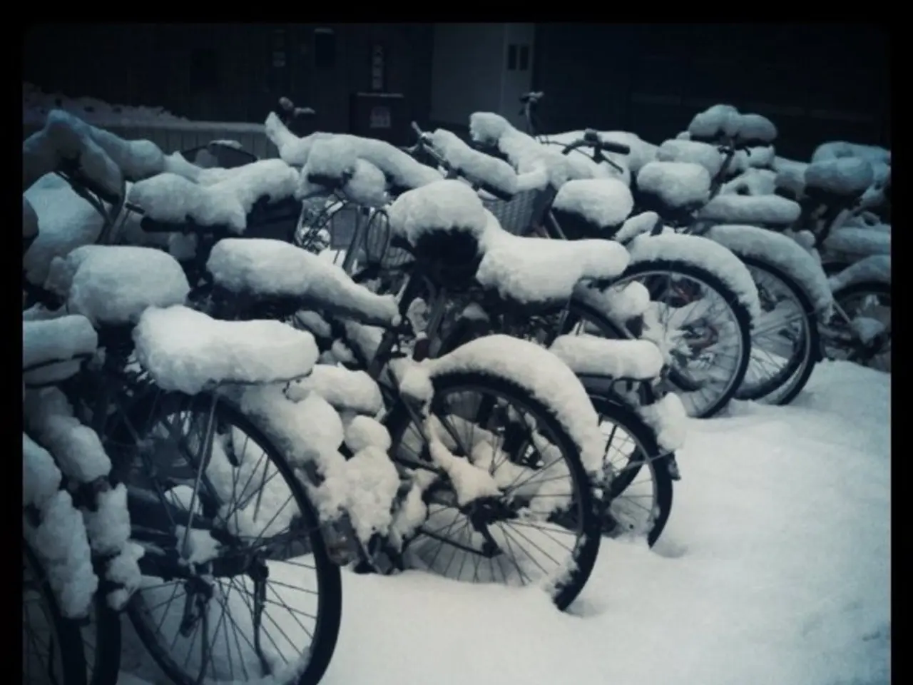
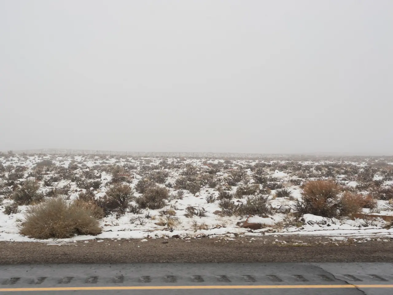
Inquiry concerning the extent or depth of snowfalls experienced.
The "How Deep Is Your Snow?" citizen science project, run by the National Institute of Water and Atmospheric Research (NIWA) in New Zealand, invites individuals across the country to report localised snow depth and snow water equivalent (SWE) measurements following standardised protocols. This data, when aggregated, provides a valuable, real-world supplement to the national snow and ice monitoring network, which is primarily based on high-elevation electronic weather stations.
The project plays a crucial role in supporting the New Zealand Building Code (NZBC) by enhancing the empirical foundation for snow loading standards. Snow loading requirements in the NZBC are based on historical and modelled data that predicts the amount of snow likely to fall in a given area over a certain return period. These requirements guide the structural design of buildings, especially in alpine and sub-alpine regions where heavy snowfall is possible but historically less well-measured compared to official automated stations.
The citizen science project fills critical gaps by capturing snowfall measurements in populated areas and lower elevations, regions that might not be covered by official high-elevation stations. This expands the spatial resolution of snow depth and SWE data available across New Zealand. Repeat measurements by citizens help identify unusual snowfall events and spot trends, contributing to a more robust understanding of the frequency and intensity of snowfalls in various regions.
The data collected by citizens can also be used to verify and calibrate snow models, remote sensing products, and the outputs of the NIWA electronic weather station network. This improves the accuracy of snow load predictions used in the building industry. Improved snow data also informs river flow forecasts and flood risk, supporting broader risk management that interacts with land use and infrastructure planning.
In summary, the "How Deep Is Your Snow?" project enriches New Zealand's snow database by providing localised, community-sourced measurements that complement the official NIWA network. This expanded dataset helps building code authorities and engineers make more informed decisions about snow loading standards, especially in areas previously lacking detailed historical data. While the project does not directly change the NZBC, it supports more accurate, location-specific risk assessments and enhances the scientific basis for building regulations related to snow accumulation.
This project offers an exciting opportunity for students to develop their data gathering and interpretation skills while learning about weather and technology. By participating in the project, students can help construct the country's own Building Code relating to snow loading on buildings. The project is designed for students to engage in during snow events, particularly in the South Island and central North Island.
References:
1. [NIWA](https://www.niwa.co.nz/our-science/climate/climate-change-and-extremes/extreme-weather/snow-and-ice/how-deep-is-your-snow) 2. [Victoria University of Wellington](https://www.victoria.ac.nz/lms/courses/2019/SEM1/SCI201/weeks/08/content/how-deep-is-your-snow)
- The "How Deep Is Your Snow?" project, in addition to supporting structural design decisions for buildings, also supplements the understanding of climate change and environmental science by providing valuable data on snowfall patterns and weather events across New Zealand, contributing to more accurate weather forecasting.
- Student participation in the "How Deep Is Your Snow?" project not only enhances their data gathering and interpretation skills but also contributes to a more robust understanding of climate-change-related weather events and environmental science, ultimately aiding in the development of New Zealand's building code regulations pertaining to snow accumulation.


