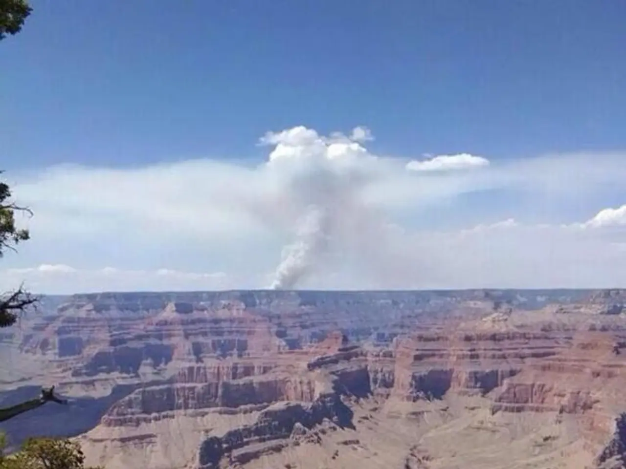
Hiking Guide for South Kaibab Trail
=================================================================================
The South Kaibab Trail, a part of the Arizona Trail (AZT) that stretches about 800 miles from Mexico to Utah, offers hikers a direct route down to the Colorado River within the Grand Canyon. This iconic trail boasts breathtaking views from start to finish, with several turnaround points catering to various fitness levels and time constraints.
Recommended turnaround points for a day hike on the South Kaibab Trail include Ooh Aah Point, Cedar Ridge, and Skeleton Point. Each location offers a unique perspective of the canyon, with varying distances, climbing elevation, and estimated hiking times.
| Turnaround Point | Total Distance (round trip) | Total Elevation Climbing (feet) | Estimated Time | Difficulty | Notes | |-------------------|-----------------------------|---------------------------------|----------------|------------|-----------------------------------| | Ooh Aah Point | 1.8 miles | 600 ft | ~1 hour | Moderate | Panoramic canyon views | | Cedar Ridge | 3 miles | 1,180 ft | 2-3 hours | Hard | Interior canyon views | | Skeleton Point | 6 miles | 2,040 ft | 3-4 hours | Hard | Views of the Colorado River and canyon; farthest turnaround recommended for most day hikers by the National Park Service (NPS) |
The National Park Service advises most day hikers to turn around at Skeleton Point or earlier, especially in summer, due to the trail's difficulty and lack of water. Cedar Ridge and Ooh Aah Point are suitable for shorter, less-demanding day hikes and provide spectacular scenic viewpoints. Skeleton Point is often considered the maximum distance for a day hike, presenting the challenge of a longer ascent with about 2,040 feet of climbing.
Start early and come prepared since there is no water along the South Kaibab Trail. The trailhead is located about 2 miles east of the Grand Canyon Visitor Center and is accessible via park shuttle.
The hike back up the South Kaibab Trail is much harder than going down, so it's essential to plan accordingly and choose a turnaround point that suits your fitness level and time constraints. The trail, named Kaibab, a word of Southern Paiute origin meaning "mountain lying down," was built by engineers in 1924-25. No camping is allowed along the South Kaibab Trail.
The South Kaibab Trail is a Grand Canyon hike with big views from start to finish, making it an unforgettable experience for hikers seeking breathtaking vistas and a challenging adventure.
References: [1] South Kaibab Trail Guide from Hiking Guy (2025-08-11) [3] Rim to Rim to Rim Guide (2025-07-31)
- Prepare your gear for a hiking adventure on the South Kaibab Trail, a part of the Arizona Trail that leads to breathtaking views of the Grand Canyon.
- For a day hike, consider turnaround points such as Ooh Aah Point, Cedar Ridge, or Skeleton Point, each offering unique perspectives of the canyon.
- Remember to consult maps and follow the guidance of the National Park Service when choosing a turnaround point, as the trail can be challenging, especially in summer.
- After your hike, appreciate the sports of trekking and nature in the Grand Canyon, realized through the network of trails like the South Kaibab, and consider it an unforgettable part of the hiking experience.


