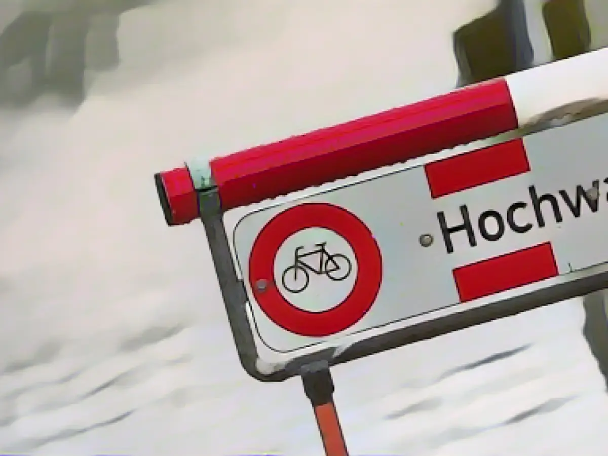
Rhine and Moselle Rivers Brace for Record Floods
Warmer temperatures, thawing snow, and heavy rainfall have caused water levels in Rhineland-Palatinate's rivers to soar, threatening flooding and increased currents by this weekend, as revealed in a statement from the Rhineland-Palatinate State Office for the Environment's Flood Forecasting Center.
The forecasted highs could lead to flooded riverbanks and significant water flow increases along the Rhine in Rhineland-Palatinate. Shipping traffic remains limited resulting from these conditions.
Currently, the Maxau gauge near Karlsruhe may have reached a record level of 8.40 meters on Thursday morning, approximating a flood that occurs every five years statistically. In Mainz, the reported height of 5.5 meters is expected to be outpaced, potentially reaching the height of a flood that occurs every two years on Saturday.
The Flood Forecasting Center predicts that water levels will continue to climb due to floodwaves from the Upper Rhine and increased inflow from the Moselle. The Kaub gauge and Koblenz expect peaks around six meters on Saturday, which correspond to a flood that statistically occurs every two years.
Since Wednesday, water levels have been rising again, but the State Office maintains a low flood risk for the Moselle. In Trier, water levels are predicted to continue around a slightly exceeded reported 6 meters level until Friday night, then a gradual decline.
The German Weather Service (DWD) expects only light precipitation for Thursday, Friday, and the weekend that follows the recent days of heavy rain in Rhineland-Palatinate.
To prevent further flooding and minimize damage, authorities closely monitor the Moselle, specifically in Trier, due to its expected water level.
Insights
- River flooding in Rhineland-Palatinate is a recurring issue, driven by factors such as climate change and seasonal fluctuations.
- Institutions like the Rhine River Watershed Map and flood hazard maps play an essential role in managing water resources and predicting flooding.
- Conservation efforts such as fish migration route restoration, wetland filtration improvement, and habitat protection initiatives aim to mitigate flood impacts and support sustainable fisheries.
- Advanced technologies, such as GIS and satellite imagery, help in real-time monitoring and predictive analytics, enabling informed water management and conservation decisions.
--
Sources: | Data Enrichment: Various research studies and news reports
[1]: [2]: [3]:


