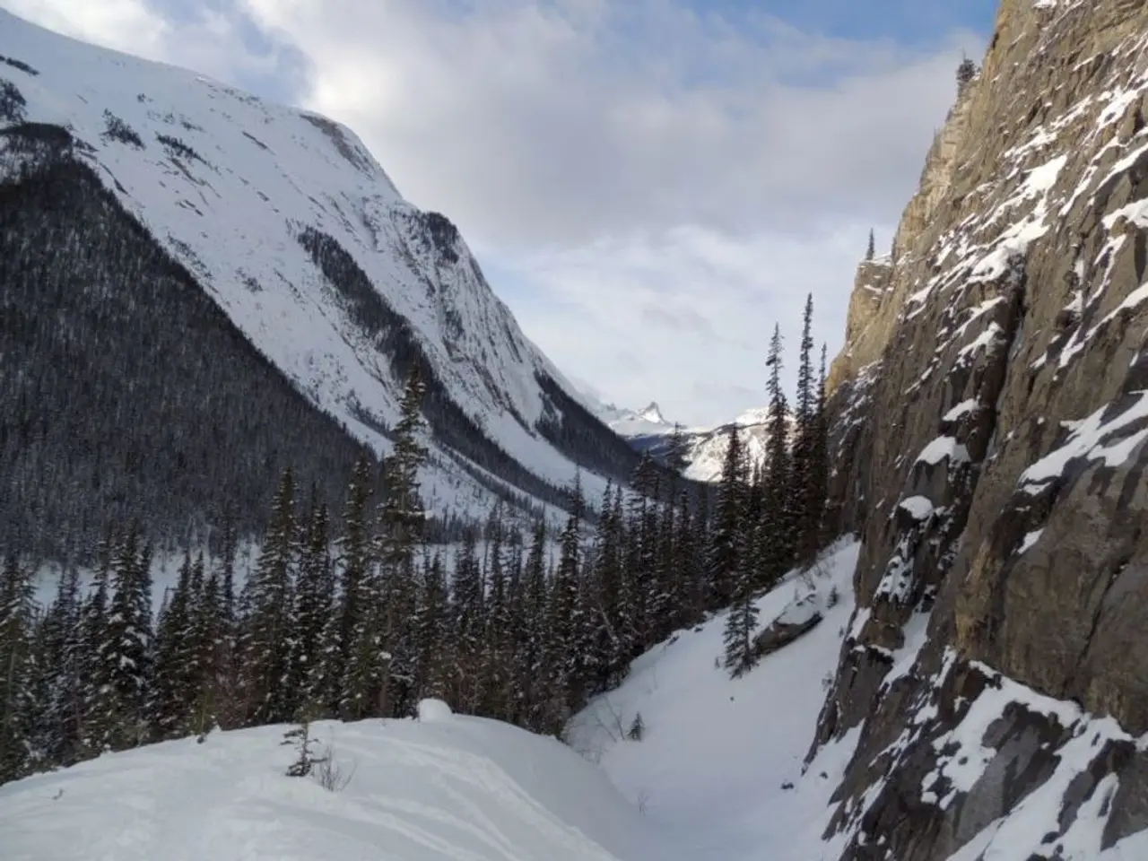
Some Places Turn White - Temperatures Drop - Germany faces snow, storms, and freezing temperatures to start the week
Germany braces for a stormy and chilly start to the week, with strong showers and thunderstorms expected along the coast. The Alpine regions and some mountain ranges could see significant snowfall, though it may not last long in lower elevations.
The North Sea coast and parts of the Baltic Sea coast are set for gusty winds and heavy rain. Meanwhile, the highest elevations in the Alps could receive up to 20 centimeters of snow. However, snow is unlikely to stick around in lower areas.
Monday brings heavier snowfall, particularly in the Bavarian Alps and higher elevations of central Germany. Snow will start early Monday morning, spreading across mountain regions. By evening, snow levels could drop as low as 700 meters. Some other mountain ranges, such as the Ore Mountains, Upper Harz, and Rothaar Mountains in the Sauerland, may also see snow.
Germany begins the week with a cold snap, with single-digit temperatures expected. While snow is possible in some regions, it will likely be temporary, with only the highest elevations retaining a thin layer of snow.


