Forecast for Houston: Growing likelihood of rain on Friday
Houston residents can expect a wet and muggy weekend, as a cold front approaches and stalls near the area, according to the latest weather forecast from Your Gulf Coast Weather Authority.
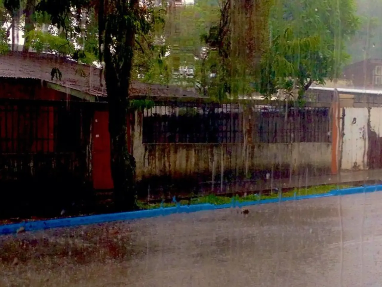
The forecast indicates an increase in rain chances, with scattered showers and thunderstorms expected, particularly starting Saturday afternoon and continuing through Sunday. Friday also offers a decent chance for scattered afternoon storms.
The approaching cold front is expected to contribute to the muggy conditions and increased storm chances, although its exact path and proximity to Houston remain uncertain.
Heavy rain, with isolated downpours of up to 2-3 inches, may occur mainly north and west of Houston. However, widespread flooding is not anticipated.
Temperatures will remain in the low to mid 90s throughout the weekend, with humidity remaining high. Despite the cold front, a dramatic temperature drop is not expected.
It's worth noting that currently, there are no tropical threats influencing the forecast. Early August forecasts suggest a return to hotter and drier conditions after this weekend's wet period.
In a broader context, the current weather pattern in the Atlantic basin is quiet due to the dominance of Saharan dust. However, a more active tropical pattern is expected in August, especially mid-August. September, known as the busiest month of the Atlantic basin hurricane season, is approaching.
Residents are advised to stay updated with the latest weather updates and to take necessary precautions during the weekend. For the most accurate and up-to-date weather forecast, visit Your Gulf Coast Weather Authority.
Despite the rainy and muggy weekend ahead for Houston, residents can still find entertainment options indoors to pass the time. Meanwhile, weather updates are crucial for staying safe during this wet period, as scattered showers and thunderstorms are expected.


