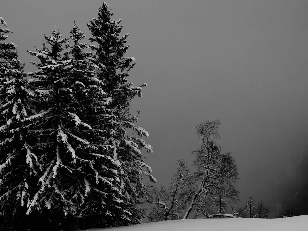
Does the first snow fall? - First snow and icy patches hit western Germany today
Prepare for a mix of weather conditions today, November 17, 2025, across western Germany. The first snow of the season is expected, particularly in higher altitudes and northern mountain regions. Intermittent showers and a risk of icy conditions are also in the forecast.
Overnight into Tuesday, skies will remain cloudy but dry. However, as the day progresses, intermittent showers are expected. These showers could bring snow to higher elevations above 600 meters. Precipitation is set to taper off by evening.
Winds will be light to moderate, occasionally gusty. Temperatures will drop to between +1 and -3 degrees Celsius. This could lead to ground frost and patchy icy stretches in some areas. Snowfall could create a slight risk of icy conditions. Rhineland-Palatinate and Saarland experienced patchy fog early this morning.
Daytime highs will range from 3 to 8 degrees Celsius. While the clima may be unpredictable, it's crucial to stay informed and take necessary precautions to ensure safety. Keep an eye on local weather updates for the latest information.


