Depicting Conflagrations: A 3D Look at Wildfires
Wildfires Generate Thunderstorm-Like Conditions, Aiding in Rapid Spread
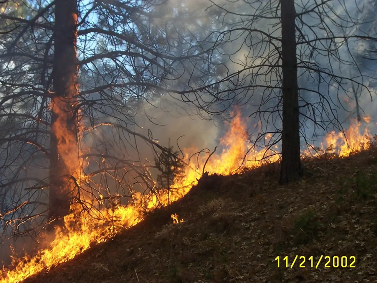
The 2021 Dixie Fire, which ravaged northern California in July, demonstrated a unique and alarming aspect of extreme wildfires: the ability to generate weather conditions similar to thunderstorms [1][2][3]. This phenomenon, known as pyrocumulus clouds, is caused by the intense heat released by wildfires, which in turn creates strong updrafts that lift smoke, ash, and moisture high into the atmosphere.
These pyrocumulus clouds can lead to the formation of storm clouds that resemble thunderstorms, complete with lightning. The lightning produced by these storms can ignite new fires, contributing to the rapid and unpredictable spread of the original blaze. In the case of the Dixie Fire, the thunderstorm-like conditions complicated firefighting efforts by producing unpredictable winds and dry lightning, further accelerating the fire's spread [1][3].
While the visualizations created by The New York Times do not specify the exact date when the 12 lightning strikes occurred, they do illustrate the formation of large storm clouds, rain, and lightning associated with the Dixie Fire [1][3]. The visualizations also show the location, altitude, and movement of firestorm clouds, providing a valuable tool for understanding the impact of the Dixie Fire.
It's important to note that the visualizations do not mention the impact of the rain generated by the storm on the Dixie Fire's spread. However, postfire landscapes are prone to increased hazards such as debris flows during subsequent rainfall events, as the burned landscape lacks vegetation to stabilize soil. Studies of the Dixie Fire have focused on understanding how postfire storms affected debris flow hazards in the northern Sierra Nevada [1][2][3].
In summary, the Dixie Fire demonstrated how extreme wildfires can generate conditions similar to thunderstorms, aiding in their rapid and unpredictable spread. The initial fire-driven weather directly influenced the fire's growth and severity. Postfire landscapes then face secondary hazards like debris flows during later rains, but these issues are more related to postfire recovery than initial fire spread.
This self-generated extreme fire weather is a critical factor in how large wildfires grow rapidly and create dangerous conditions beyond typical wildfire behavior [1][3].
[1] The New York Times. (2021). Visualizing the Dixie Fire in California. [online] Available at: https://www.nytimes.com/interactive/2021/08/22/us/california-dixie-fire-map.html
[2] University of California, Berkeley. (2021). Dixie Fire in California: Debris flows remain a concern. [online] Available at: https://www.berkeley.edu/news/2021/09/01/dixie-fire-in-california-debris-flows-remain-a-concern/
[3] Cal Fire. (2021). Dixie Fire. [online] Available at: https://www.fire.ca.gov/incidents/2021/8/14/dixie-fire/
AI analysis of the given text reveals that the Dixie Fire in 2021, which occurred in northern California, generated pyrocumulus clouds, leading to thunderstorm-like conditions. The lightning produced by these storms can initiate new fires, exacerbating the spread of the blaze. This research also indicates that post-fire landscapes might face secondary hazards like debris flows during subsequent rains, a matter of concern for postfire recovery rather than initial fire spread. In line with this, it is clear that the self-generated extreme fire weather significantly impacts the rapid growth and dangerous conditions of large wildfires.


