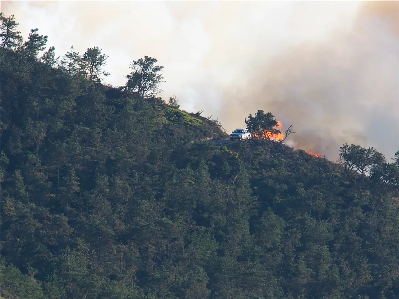
Cyclone Alfred's destructive effects on Australia's East Coast will further intensify, according to the Prime Minister's warning.
Heads Up Down Under: East Coast Braces for Approaching Weather Catastrophe
The Aussie PM, Anthony Albanese, has set the tone of urgency regarding the rapidly deteriorating weather situation along the east coast. Heavy rain, powerful winds, and flooding have already wreaked havoc, with the situation projected to worsen in the coming days.
In a stark address on Saturday morning, the Prime Minister pointed out the severity of the approaching weather event, urging all residents to brace for impact. "Stay alert, my folks. This is a storm of enormous proportions," he stated, "The potential damage will be catastrophic over the coming hours and the days ahead. Prepare for strong winds, heavy rain, flooding, and hazardous conditions this weekend and beyond." Mr. Albanese urged everyone to remain indoors and support each other through these tumultuous times.
Tragically, a 61-year-old man lost his life after being swept away in a flooded river near Dorrigo, New South Wales. His body was recovered on Saturday, symbolizing the deadly nature of the inclement conditions.
Unexpected Shifts in Weather Patterns
Initially, meteorologists anticipated ex-Tropical Cyclone Alfred to be the first cyclone to hit the Australian east coast near the Queensland state capital since 1974. However, the storm system has exhibited unpredictable behavior. Although it weakened and downgraded to a tropical low with winds under 39mph, it's still posing a significant threat, especially as it's expected to traverse the Australian mainland in the coming days.
According to Matt Collopy, manager of Australia's Bureau of Meteorology, the storm has been hovering off the Brisbane coast for several hours, but it's projected to continue westward. The looming heavy rainfall and treacherous conditions remain a cause for great concern, requiring continued vigilance from residents in affected regions.
Unprecedented Challenges Ahead
The storm has already resulted in widespread damage, including uprooted trees causing havoc to powerlines, homes, and vehicles. Gold Coast's renowned beaches have suffered brutal erosion, transforming pristine sands into steep cliffs due to relentless erosion over several days. With increasing flood warnings along the east coast, the Bureau of Meteorology Australia has cautioned that rivers are rapidly rising, and flash floods pose a substantial threat to communities.
The national forecaster has also warned that the peak of flooding is expected overnight on Saturday into early Sunday, escalating the urgency for residents to take precautions. With an estimated 19,000 residents evacuated from low-lying areas, the impact of the storm continues to unfold, underscoring the importance of staying updated and ready for action.
Mr. Albanese's advice to heed official guidance and avoid flooded areas has been echoed by various officials, emphasizing the necessity for proactive measures to ensure public safety. Mayor Sarah Ndiaye of Byron Shire, New South Wales, described the region as narrowly escaping disaster despite the storm's change in course, reflecting the ongoing challenges and tension faced by the communities.
As the region grapples with one of the most extensive power outages in history due to the natural disaster, emergency services are working tirelessly to restore power and clear debris-strewn roads. Premier David Crisafulli of Queensland acknowledged the magnitude of the power loss, stressing the urgency of the situation and the need for collaboration to minimize further damage.
The Bureau of Meteorology Australia has released a severe weather warning, urging residents to be prepared for heavy rainfall and harmful winds in multiple regions, stretching from Gympie in Queensland to Nambucca Heads in New South Wales. With up to 200-300mm of rain forecasted in the next 24 hours and wind gusts reaching up to 90kph (55mph), Australians are advised to remain vigilant and closely monitor updates from relevant authorities. Ultimately, the slippery slope of intense rainfall in the coming days depends on the storm's movement, suggesting the fluidity of the present weather situation.
Enrichment Data:
While there is currently no active Tropical Low or Tropical Cyclone known as Alfred impacting the Australian east coast, a developing coastal trough is projected to deepen off northern New South Wales by Monday, June 30. This trough has the potential to evolve into a significant low-pressure system—possibly a strong East Coast Low or Tasman Low—by Tuesday, July 1[1][3][4]. Key forecast details, potential impacts, warnings, preparedness, and a summary table can be found in the enrichment data section, providing further insights into the imminent weather catastrophe.
- With the approaching Tropical Low exhibiting unpredictable behavior, climate-change-induced weather patterns seem to have intensified, posing unprecedented challenges to environmental science and prediction methods.
- Amid the national emergency, Australian Prime Minister Anthony Albanese has emphasized the importance of staying indoors and supporting each other, urging vigilance in the face of this weather catastrophe.
- The intersection of weather and science is more important than ever in the midst of this crisis, as meteorologists work diligently to predict the movement of the Tropical Low, providing critical information that will aid in minimizing damage and improving public safety.


