Colorado braces for extreme winds, fire risks and heavy snow mid-week
A First Alert Weather Day has been declared for Wednesday as powerful winds and extreme fire risks sweep across Colorado. The state will face dramatic shifts in conditions, from unseasonably warm temperatures on Tuesday to heavy snow, high winds, and hazardous travel by mid-week.
Authorities have issued multiple warnings, including a red flag alert for the Denver metro area and a high wind warning for the I-25 corridor, with gusts expected to reach 90 mph.
Tuesday will bring unusually warm and dry weather, with highs climbing into the mid to upper 60s. These conditions will raise fire danger, setting the stage for Wednesday’s volatile changes.
By Wednesday, a strong jet stream, steep pressure gradient, and cold front will trigger severe weather. A red flag warning takes effect at 11 a.m. for the Denver metro area, Palmer Divide, and much of the urban corridor, where wind gusts could hit 80 mph. A high wind warning covers the mountains, foothills, and I-25 corridor, with gusts between 60 and 90 mph.
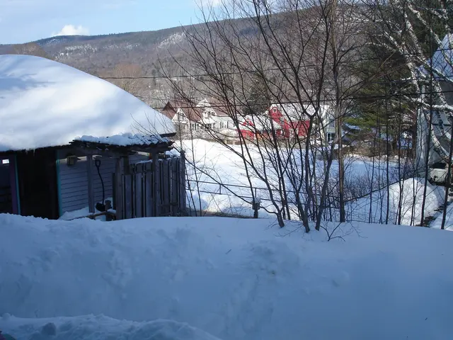
A Winter Weather Advisory is also in place for parts of South and East Jackson, Larimer, Grand, and Boulder Counties above 9,000 ft, as well as the Elkhead and Park Mountains. These areas could see 4 to 10 inches of snow, combined with 75 mph gusts. Travel in the mountains will become treacherous Wednesday evening, with blowing snow and icy roads expected.
Winds will gradually ease late Wednesday night into Thursday, though breezy conditions may linger on the plains. Cooler air will follow the cold front, bringing temperatures back to seasonal norms. However, another bout of strong winds is possible by Friday.
The Winter Weather Advisory extends into Thursday for higher elevations, where snow and wind will continue to create difficult conditions.
The mid-week weather shift will bring a mix of fire risks, high winds, and heavy snow to different parts of Colorado. Travel disruptions are likely in mountain areas, while the plains face dangerous wind speeds. Residents and drivers are advised to stay updated on warnings and adjust plans accordingly.


