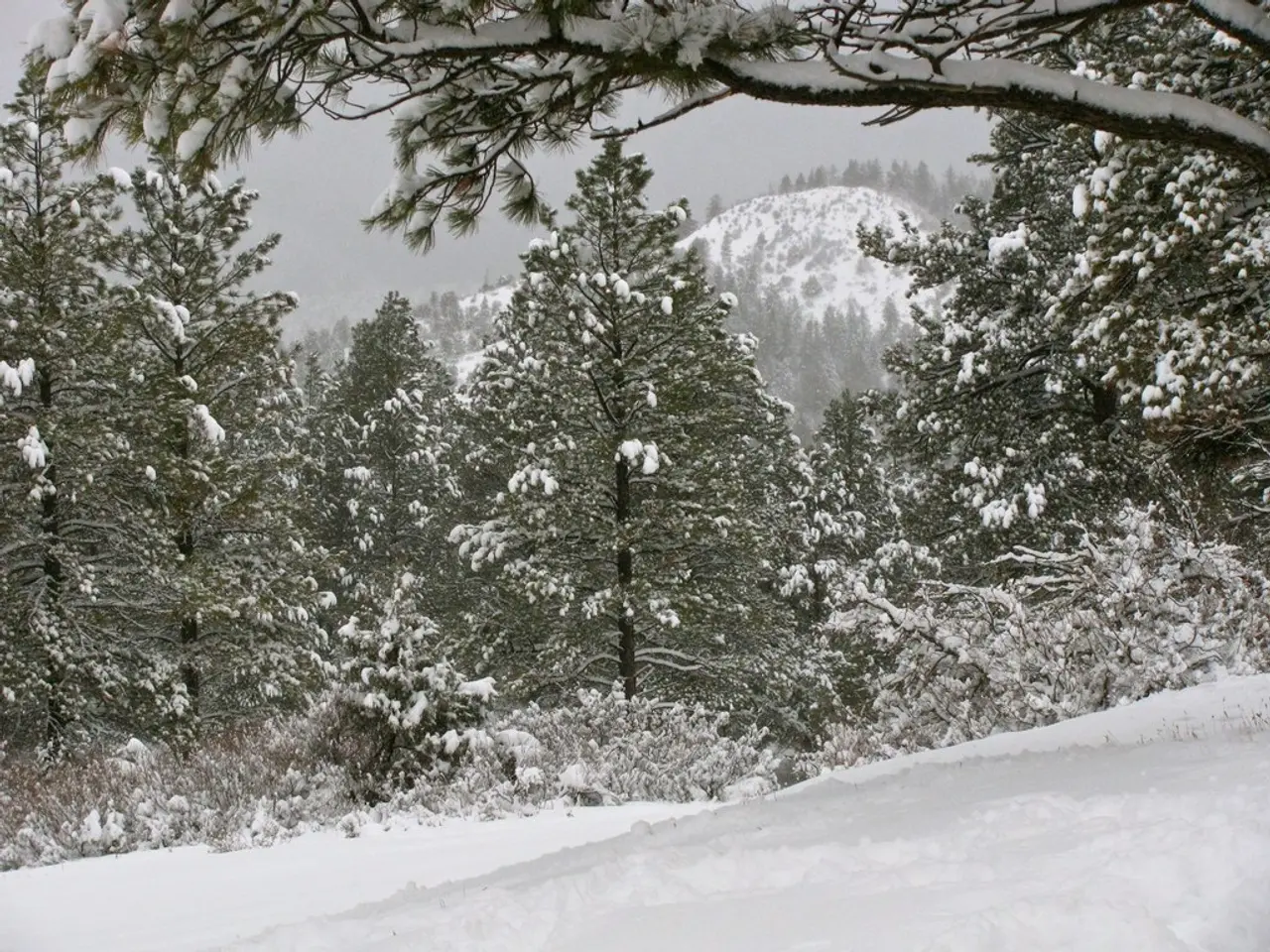
Chicago Braces for Harsh Winter as La Niña and 'The Blob' Return
A weak La Niña phase, mirroring conditions from winter 2013-2014, is currently underway. This, coupled with a marine heatwave called 'The Blob' in the North Pacific, suggests a similar winter ahead for Chicago. The Blob, linked to enhanced Arctic warming, could drive colder, snowier conditions to the city.
Chicago's winter of 2013-2014 was the third-coldest on record, with average temperatures of 18.8°F and snow totals of 67.4 inches. The current La Niña conditions favor a Great Lakes storm track, which could lead to a repeat of these harsh conditions. Additionally, record warm Lake Michigan water temperatures could enhance lake effect snow events early in the winter season. The Blob, with average sea surface temperatures reaching 68°F in August 2025, is expected to play a significant role in this. The winter of 2013-2014 was long and difficult, with 23 nights below zero and snowfall every other day. Chicagoans can brace for a similarly challenging winter ahead.
While no specific predictions are available for December 2025 to February 2026, Chicagoans should prepare for a potentially cold and snowy winter. The National Weather Service and other meteorological services will provide updates as the season approaches. Key weather stations like O'Hare International Airport, Midway Airport, and the University of Illinois at Chicago will monitor and report on snowfall throughout the winter.


