Bright and Dull Day upon Us
Forecast for the Week Ahead in Madison, Wisconsin
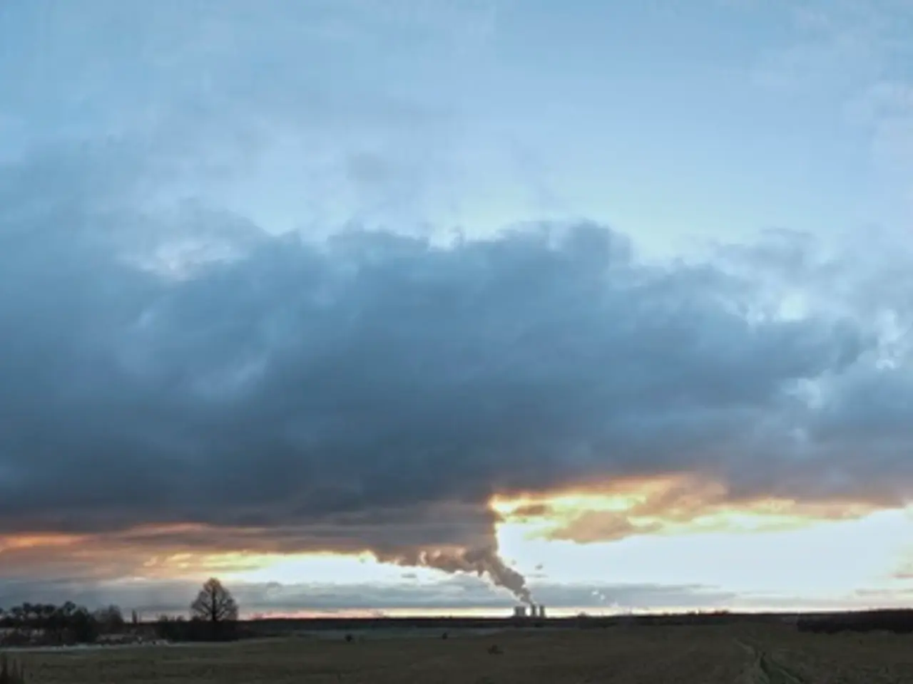
The weather in southern Wisconsin is expected to remain hazy due to smoke from Canadian wildfires for another day or two, but a change is on the horizon. Starting from Friday, the weather pattern in the region will become more active, bringing scattered thunderstorms and showers with varying chances of rain throughout the week.
Friday (August 8): Scattered thunderstorms are expected to develop late in the evening, with a low near 68°F. The chance of rain is about 40%, and light variable winds are forecast.
Saturday (August 9): Scattered thunderstorms, some possibly severe, are predicted mainly in the morning. The high temperature will be around 83°F, with a 60% chance of rain. Winds are expected to be WSW 5 to 10 mph.
Sunday and Monday (August 10-11): The weather will be a mix of sun and clouds, with a lower chance of precipitation (around 15-31%). Highs will be in the low 80s, and lows will be in the mid to upper 60s.
Tuesday and Wednesday (August 12-13): There is a slight chance of thunderstorms, with rain chances around 30-40%. Temperatures will warm to the mid 80s to low 90s for highs and low 70s at night.
There may be some periods of increased humidity and the possibility of severe thunderstorms, mainly on Saturday morning. Winds are expected to be mostly Southern and Southwest directions with moderate speeds.
With precipitation and more clouds in the forecast, temperatures in southern Wisconsin will be cooler during that timeframe. By the middle and end of the week, high temperatures in the region are expected to reach the middle and upper 80s. The high temperatures are expected to peak on Friday at around 90°.
The air quality advisory in southern Wisconsin remains until noon today. Chances of showers and thunderstorms return to southern Wisconsin starting on Monday and continue through the middle of next week. After the middle of next week, no further chances for showers and storms were mentioned in the forecast.
In summary, expect unstable weather with scattered thunderstorms through much of the week, especially early on, along with temperatures fluctuating roughly between 68°F to 91°F. There will be more sunshine in the middle and end of the week, and temperatures are expected to decrease compared to the end of this week.
[1] Source: Weather forecast data from the National Weather Service.
[1] The weather pattern in Madison, Wisconsin, starting from Friday, will become more active, bringing scattered thunderstorms and showers throughout the week. [2] This is according to the weather-forecasting data from the National Weather Service, indicating a cooler temperature trend due to the increased precipitation and cloud cover.


