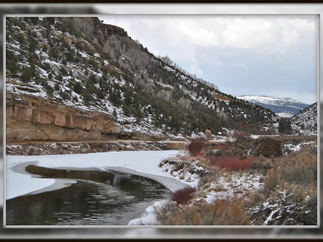
Alps brace for bitter cold after unusually warm December
A sharp drop in temperatures is set to hit the Alps and surrounding lowlands starting this week. After an unusually mild December, conditions will turn bitterly cold from January 4, with freezing weather gripping both high and low altitudes. Ski resorts and mountain areas will see little fresh snow despite the chill.
December brought unseasonably warm weather to higher elevations. On Pilatus, at around 2,100 meters, daytime temperatures often climbed between 5 and 10°C. Even mountains between 1,500 and 2,000 meters experienced milder conditions than usual.
From January 2 to 4, a gradual cooldown will begin. Daytime highs at 2,000 meters will fall to between -5 and 0°C. By January 4, these same altitudes will struggle to reach above -10°C.
The lowlands will also face freezing conditions. Highs will hover near 0°C from Monday, with widespread ice days expected. Nighttime lows could plunge to -5 or -10°C, while higher Alpine valleys may see -20 to -25°C locally.
A brief shift in weather overnight into Saturday will bring slightly more humid air. However, this will only produce a few scattered snowflakes, offering little relief for ski slopes and cross-country trails. No significant fresh powder is forecast.
The sudden cold snap follows a month of unusual warmth in the mountains. Skiers and outdoor enthusiasts will find limited fresh snow, despite the freezing temperatures. Lowland areas must prepare for persistent ice and bitterly cold nights in the coming days.
Read also:
- United States tariffs pose a threat to India, necessitating the recruitment of adept negotiators or strategists, similar to those who had influenced Trump's decisions.
- Weekly happenings in the German Federal Parliament (Bundestag)
- Massive 8.8 earthquake hits off the coast of Russia's Kamchatka Peninsula, prompting Japan to issue a tsunami alert.
- Court petitions to reverse established decision on same-sex marriage legalization


